DES MOINES, Iowa — It's the middle of October and Iowa hasn't recorded any snow ... at least not yet.
Unusual? Not necessarily.
Although snow is fairly common in October (Des Moines averages about 0.5"), historical data shows 80 years on record have reported no snow at all in October.
Either way, cold and snowy weather can't be too far off, especially given the likelihood of a La Niña this winter.
How cold and snowy will it be? It is difficult to predict specifics, but global patterns indicate it could be colder and wetter than average.
An Oct. 14 report from the National Oceanic and Atmospheric Administration (NOAA) said La Niña conditions have already developed and are expected to continue, with an 87% chance of La Niña between December 2021 and February 2022.
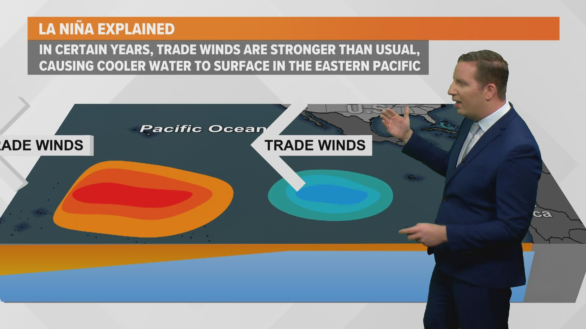
La Niña conditions are characterized by cooler than average water temperatures in the equatorial Pacific Ocean.
Since the ocean and Earth's atmosphere are interconnected, cooler water temperatures in the Pacific normally cause the polar jet stream to become more amplified over North America.
Because the atmosphere and ocean work in a fluid relationship, these cooler water temperatures can cause the polar jet stream to become a bit more amplified over North America.
When the polar jet stream is more active in North America, the Plains and Upper Midwest often experience colder than average temperatures and slightly above-average precipitation in winter months.
Out of the last eight La Niña winters in Iowa, five featured above-average snowfall in Des Moines (the metro averages 36.5" of snow each winter):
- 2020-21: 56.0"
- 2010-11: 38.3"
- 2008-09: 41.3"
- 2007-08: 58.5"
- 2000-01: 52.9"
Three of the last eight La Niña winters, however, have recorded below-average snowfall:
- 2017-18: 31.1"
- 2011-12: 20.9"
- 2005-06: 24.9"
Data reflects the majority of La Niña winters in Iowa bring above-average snowfall, but it is not the case every time.
On Oct. 21, the Climate Prediction Center release and outlook for temperature and precipitation for November, December, and January 2021-22.
The forecast favors slightly above-average temperatures in the Midwest during that timeframe but offers no clear signal on whether these months will bring above or below-average precipitation.
Ultimately, what occurs this winter remains to be seen. All it takes is one system to bring some dramatic swings in Iowa's weather pattern.
WATCH: How weather influences fall foliage

