DES MOINES, Iowa — The City of Des Moines has a new map to determine its wards and precincts for elections.
Only two people came forward to speak about the maps Monday night. Both said they felt the Des Moines City Council didn't plan accordingly to make sure all residents could come in and talk about the maps.
Both people said they felt the maps were rushed and that the council was attempting to avoid special meetings because of the deadlines they must meet to approve the map.
In the end, it was Mayor Frank Cownie who voted against the proposed draft.
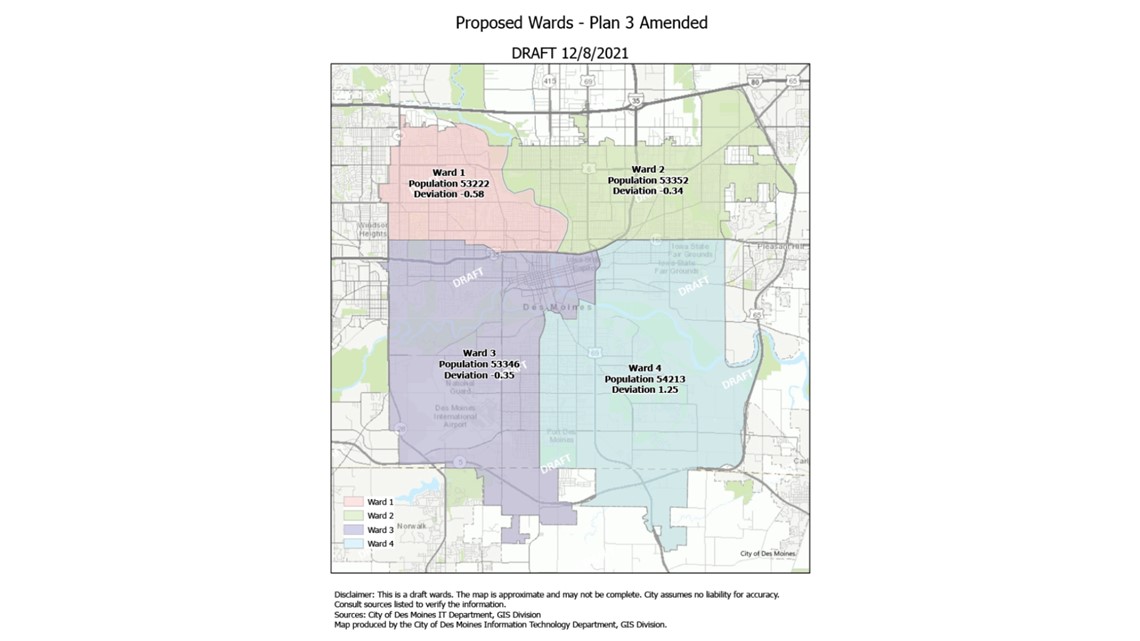
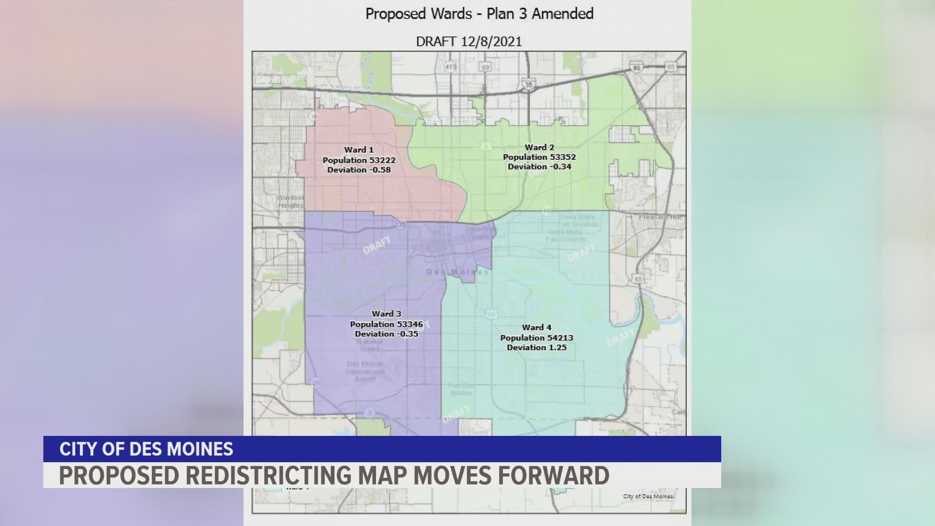
That map pushes the eastern half of Ward 1 down to Interstate 235 while Ward 4 gains an area south of the city. Ward 3 pushes east more on the northern side to include most of the area surrounding the Capitol.
Below is an image of the proposed changes:


Cownie argued this map didn't make it so each ward has representation from urban areas.
"I did not vote for this the last time and I'm not going to vote for it this time. I think it's unfortunate that Ward 4 doesn't have a bite of that," Cownie said. "Central city, it seems like all the wards do. Ward 1 has a little piece of it on 2nd Avenue and 6th Avenue heading into the downtown and Ward 2 certainly has it coming down to the botanical center and some of the other areas."
Cownie noted that his favorite map from the first set was the second draft from last month's meeting.
"But I will say it, this is a better map than one of the ones that was released earlier," the mayor said. "That really didn't line up appropriately to me by code and the way we should be doing it but better I would have preferred actually 2."
A press release from the city says the latest amendments will be forwarded to the Iowa Secretary of State. The city must submit all redistricting materials to the Secretary of State's office by Jan. 3, 2022.
Last month, council members picked one map from three different proposals.
Residents, who were told they would see another map proposed by the county auditor, were disappointed when the council decided not to look at it.
Councilmember Josh Mandelbaum later said the third map just makes the most sense for the city.
"The map that we ultimately went with, I think, is easier to explain. Overall, the east-west boundary in Ward 3 is essentially southwest right, from where you get out of downtown all the way to [the] county line road," he said. "And then the downtown area is all in Ward 3. So that's a slight change from where things are currently."
Watch the meeting on YouTube

