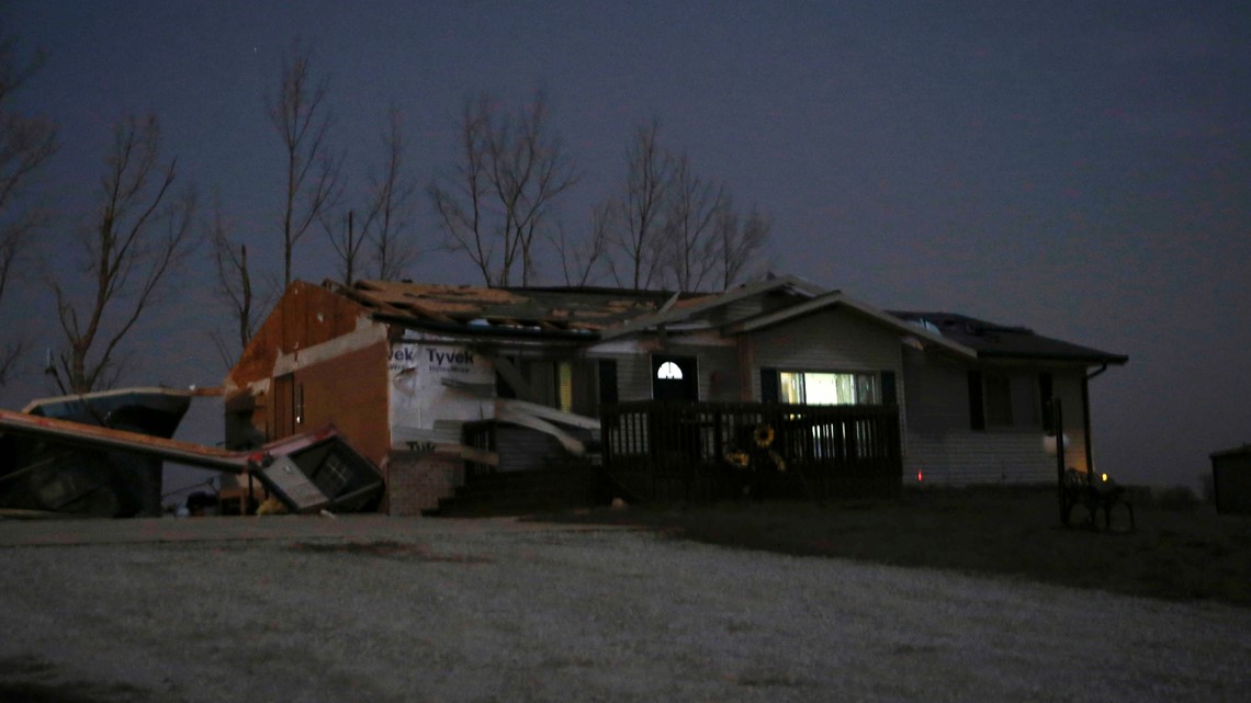
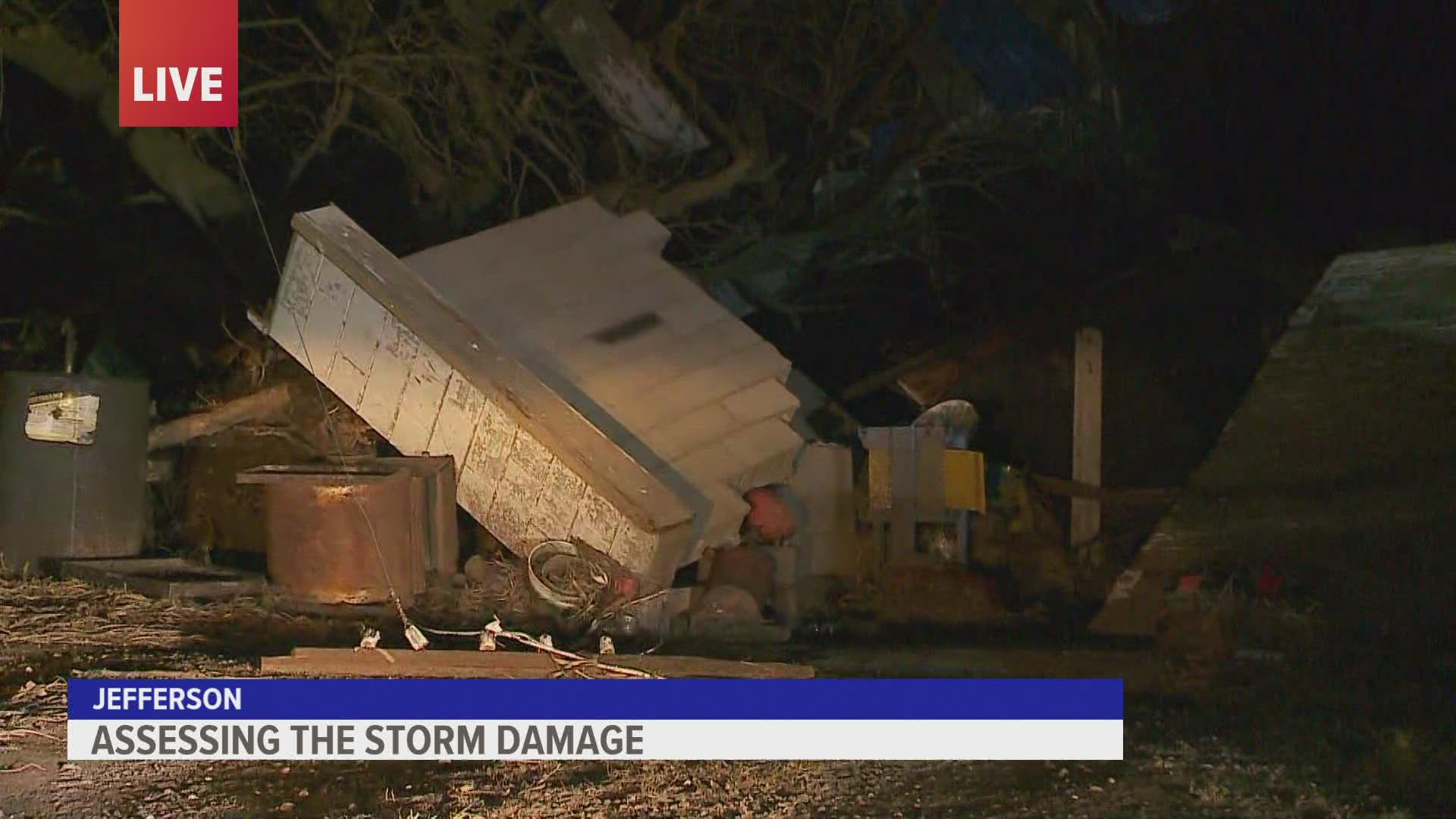
OMAHA, Neb — Authorities say at least five people died when a powerful storm system swept across the Great Plains and Midwest, spawning hurricane-force winds and likely tornadoes in Nebraska, Iowa and Minnesota.
Officials in Kansas say a 65-year-old man was killed Wednesday night when a 40-foot tree fell on him outside his home in southeastern Minnesota. The Iowa State Patrol says a semitrailer was struck by high winds and rolled onto its side in eastern Iowa, killing the driver.
The Kansas Highway Patrol says three people died in traffic accidents Wednesday due to blowing dust.
More than 20 unconfirmed tornadoes were reported Wednesday, mostly in eastern Nebraska and Iowa.
The storm was shifting north of the Great Lakes into Canada on Thursday, with high winds, snow and hazardous conditions continuing in the upper Great Lakes region, the National Weather Service said. More than 400,000 homes and businesses were without electricity Thursday morning in Michigan, Wisconsin, Iowa and Kansas, according to poweroutage.us, which tracks utility reports.
A tornado was reported in southern Minnesota on Wednesday and, if confirmed, would be the state’s first ever in December. The small community of Hartland, Minnesota, might have been the hardest hit, with a reported 35 to 40 homes sustaining minor damage while a few businesses were severely damaged, said county Emergency Management Director Rich Hall. Several barns were down and roofs were blown off some sheds, he added.
The winds knocked down trees, tree limbs and nearly 150 power lines in northern and western Michigan’s Lower Peninsula. In the western Michigan village of Fruitport, high winds peeled back a portion of Edgewood Elementary School’s roof, leading officials to close all district schools Thursday.
The day also saw the most reports of hurricane-force wind gusts — 75 mph (120 kph) or higher — of any day since 2004, the center said.
“To have this number of damaging wind storms at one time would be unusual anytime of year,” said Brian Barjenbruch, a meteorologist with the National Weather Service in Valley, Nebraska. “But to have this happen in December is really abnormal.”
The system came on the heels of devastating tornadoes last weekend that cut a path through states including Arkansas, Missouri, Tennessee, Illinois and Kentucky, killing more than 85 people.
On Wednesday, there were at least 59 reports of hurricane-force wind gusts, which exceeded the 53 recorded on Aug. 10, 2020, when a rare derecho wind storm struck Iowa, the Storm Prediction Center said. The destruction on Wednesday, however, was far less severe than what Iowa saw from the 2020 derecho, which caused billions of dollars of damage.
The strong winds also whipped up dust that reduced visibility to zero west of Wakeeney, Kansas, the state Department of Transportation said, and caused at least four semitrailers to blow over. Kansas officials closed Interstate 70 from the Colorado border to Salina, as well as all state highways in nine counties in northwest Kansas.
That dust and smoke from various wildfires in Kansas was carried north by the storm and concentrated over parts of Kansas, Nebraska and Iowa that led to a dramatic drop in air quality in those areas late Wednesday and a recommendation from the weather service for people to stay indoors. The smell of smoke from the fires also spawned a glut of calls to already-taxed emergency dispatchers in Omaha and other communities from people reporting the smell of smoke.
The National Weather Service had issued a high wind warning for an area stretching from New Mexico to upper Michigan, including Wisconsin and Illinois. Gusts topping 80 mph (129 kph) were recorded in the Texas Panhandle and western Kansas. The weather service said an automated observation site in Lamar, Colorado, recorded a gust of 107 mph (172 kph) Wednesday morning. Wind gusts of 100 mph were reported in Russell, Kansas.
Greg Butcher, the city administrator in Seward, Nebraska, said he was standing in his office at city hall Wednesday when he saw a giant wall of cloud rolling toward him. Butcher said he braced for a major hit but so far the worst damage appears to be a few toppled telephone poles.
“We lucked out,” Butcher said. “It came in really fast.”
Scientists say extreme weather events and warmer temperatures, much like what’s happening, are more likely to occur with human-caused climate change. However, scientifically attributing a specific event like this storm system to global warming requires specific analysis and computer simulations that take time, haven’t been done and sometimes show no clear connection.
“I think we also need to stop asking the question of whether or not this event was caused by climate change. All events nowadays are augmented by climate change,” said Northern Illinois University meteorology professor Victor Gensini. “We need to be asking, `To what extent did climate change play a role and how likely was this event to occur in the absence of climate change?'”
The unusually warm temperatures on Wednesday were due in part to record high ocean temperatures in the Gulf of Mexico, which wouldn’t have happened without global warming, said Jeff Masters, a Yale Climate Connections meteorologist who cofounded Weather Underground.
The system blew into the Plains from Colorado, where high winds knocked out power, closed roads and highways and delayed or canceled hundreds of flights. The weather service said a wind gust of 100 mph (160 kph) was recorded on the airfield at the Air Force Academy in Colorado Springs.
___
Stafford reported from Liberty, Missouri.


