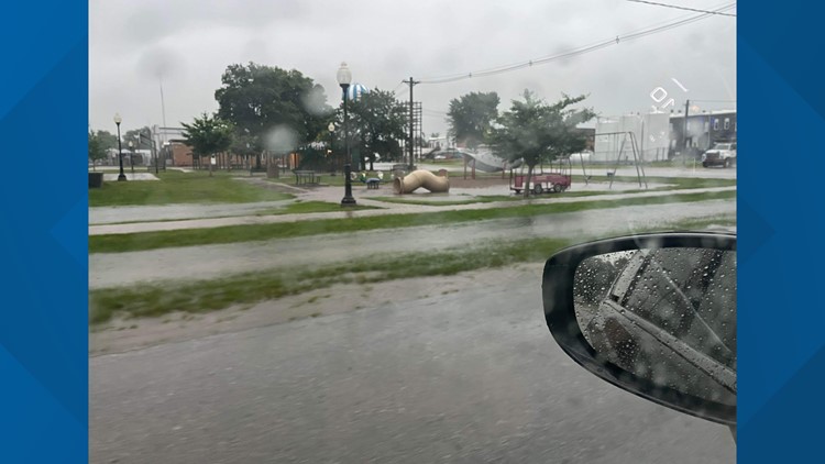
DES MOINES, Iowa — Strong thunderstorms dumped heavy rain across much of Iowa early Wednesday morning.
Several storms produced severe wind gusts, especially southwest of the Des Moines metro near Corning and Fontanelle.
Other storms dropped small to medium-size hail in central Iowa.
The bullseye for heavy rain was near U.S. Highway 30, with the heaviest totals reported in Boone and Greene Counties.
Some flash flooding occurred near Boone and Ogden, prompting the National Weather Service in Des Moines to issue a flash flood warning for several communities.
Here are a few rain totals from Wednesday morning's storms:
- Boone: 4.40"
- Lake City: 4.0"
- Napier: 3.63"
- Colo: 3.50"
- Huxley: 3.50"
- Gowrie: 2.75"
- Johnston: 2.51"
- Des Moines: 2.25"
- Des Moines International Airport: 2.09"
As of 11 a.m. Wednesday, the severe weather threat has diminished, but isolated showers and thunderstorms are still possible, mainly south of I-80.
Another chance for spotty showers and storms is in the forecast this Friday.
Wednesday morning's rain will no doubt have a positive impact on ongoing drought conditions in Iowa, but it will not be included in Thursday's report from the U.S. Drought Monitor since their data collection cut-off occurs on Tuesdays.
Important Weather Links:
Download the We Are Iowa app or subscribe to Local 5's "5 Things to Know" email newsletter to get the latest weather forecast.


