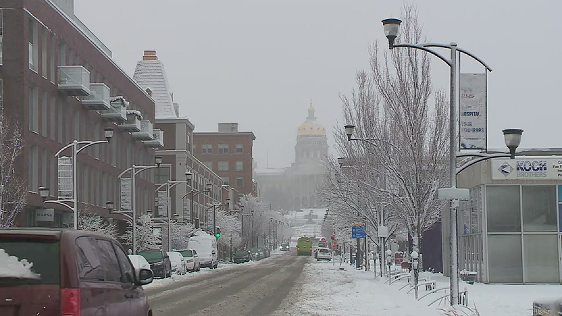
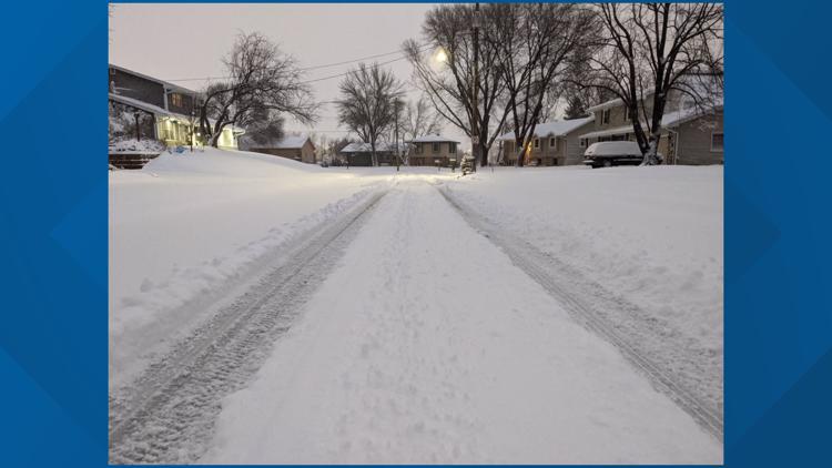
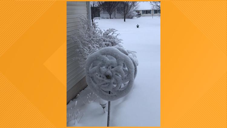
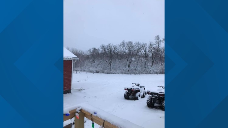
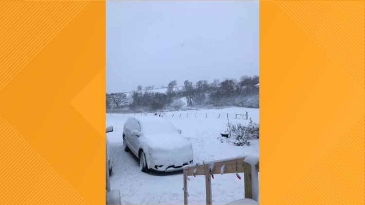
DES MOINES, Iowa — Now it's beginning to look a lot like winter outside, isn't it? Several inches of heavy, wet snow fell across the central part of the state Friday night and Saturday morning.
Although the snow has officially ended, we're not expecting what's left to melt away anytime soon. Temperatures may not climb above freezing until the middle part of the upcoming week.
Roads may become slushy again by Sunday morning, as refreeze will almost certainly be an issue. Overnight low temperatures will fall into the teens. Be extra cautious if you must travel early on Sunday morning.
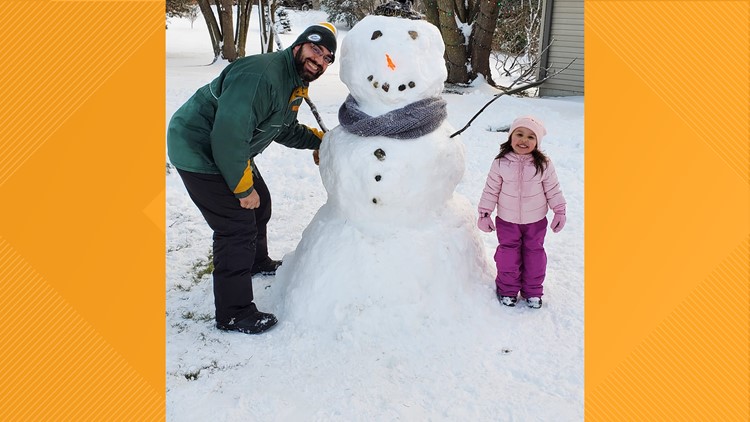
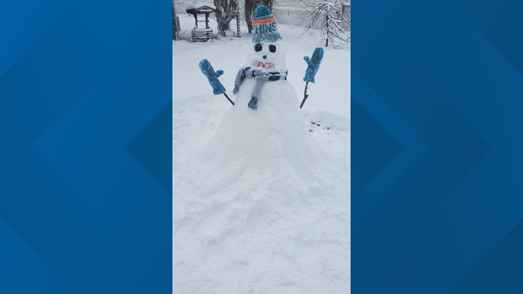
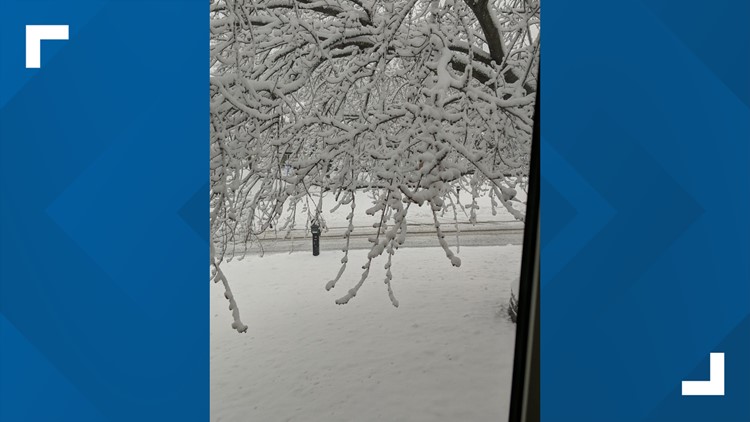
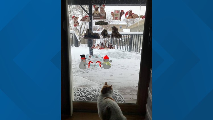
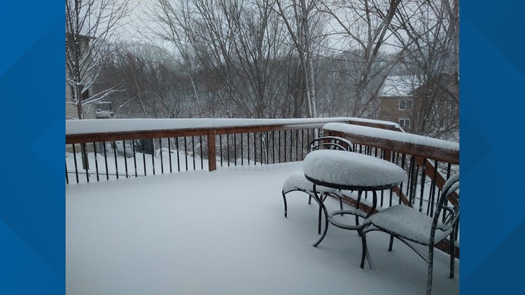
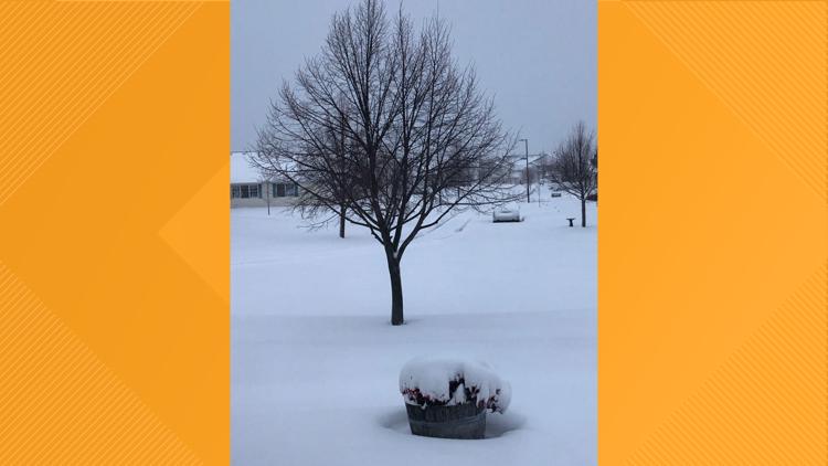
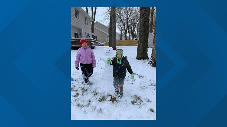
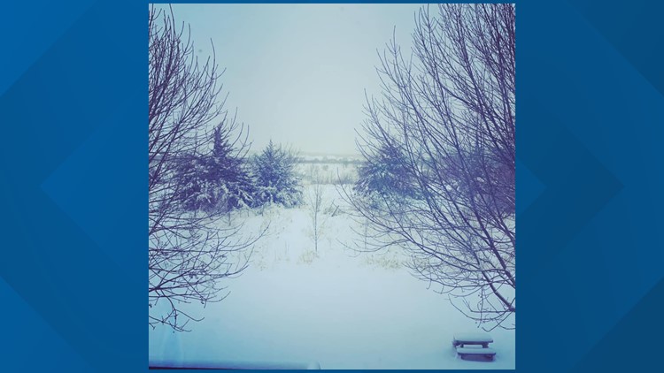
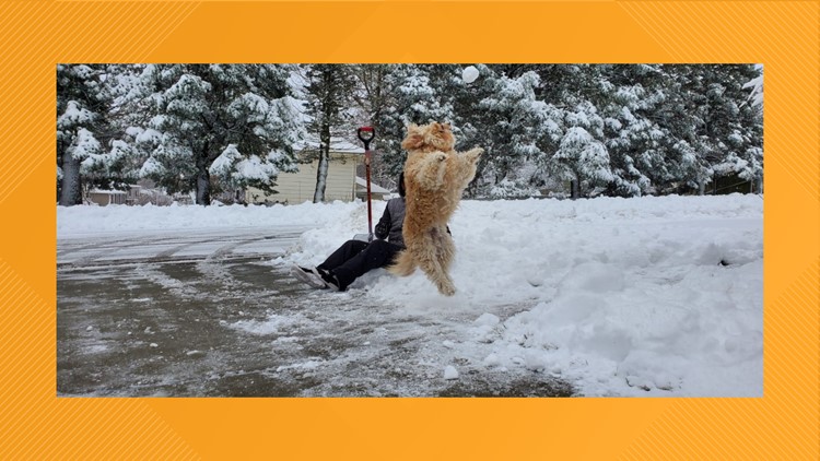
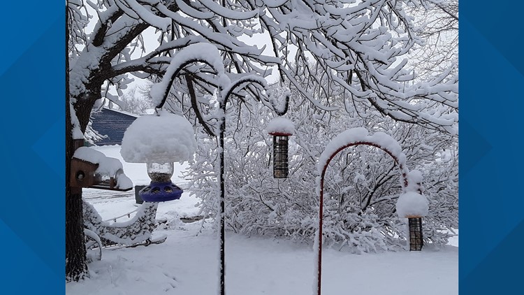
Check out the photo gallery below to see some of your picture submissions. You can always send us your photos through our free-to-download WeAreIowa app, too.
To get the latest weather forecast, visit WeAreIowa.com/Weather or download the We Are Iowa app!
Heavy, wet snow hits central Iowa
Since 12am Saturday, 6.2" of snow fell at the Des Moines International Airport, making it the snowiest calendar day at the city's observing site since November 20, 2015. On that day, 6.7" of snow occurred.
With the rare snow squall that developed back in October, and a few other snow events in the past few weeks, Des Moines has now officially reached 11.8" of snow for the season- that's nearly a foot and it's only December 12th!

