DES MOINES, Iowa — Strong to severe storms formed over central Iowa on Sunday afternoon and evening, bringing some very heavy rainfall, gusty winds, and hail to the region.
Brief funnel clouds were even reported in parts of Dallas and Boone Counties as the storms pushed through.
While the storms mostly stayed sub-severe, they did drop a significant amount of rain in a generally short period of time, prompting an Areal Flood Warning to be issued in northern Guthrie County, northern Dallas County, southern Boone County, and extreme northwestern Polk County through 2:30 p.m. Monday.
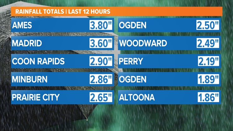
Here are some of the highest rain totals recorded from Sunday's storms in central Iowa:
- 4.5" in Madrid
- 4.0" in Boone
- 3.92" in Coon Rapids
- 3.8" in Ogden
- 2.86" in Minburn
- 2.65" at Neal Smith National Wildlife Refuge
- 2.49" in Woodward
- 2.19" in Perry
- 2.19" in Dawson
- 1.89" in Ogden
- 1.86" in Altoona
- 1.74" in Waterloo
- 1.68" in Granger
- 1.66" in Clive
- 1.66" in Jefferson
- 1.6" in Story City
- 1.6" in Maxwell
- 1.53" in Pleasant Hill
Des Moines recorded 1.18" of rain at the airport on Sunday, bringing the monthly total so far to 1.24" of rain. This is just 0.34" above-average, so we are close to where we should be through this date.
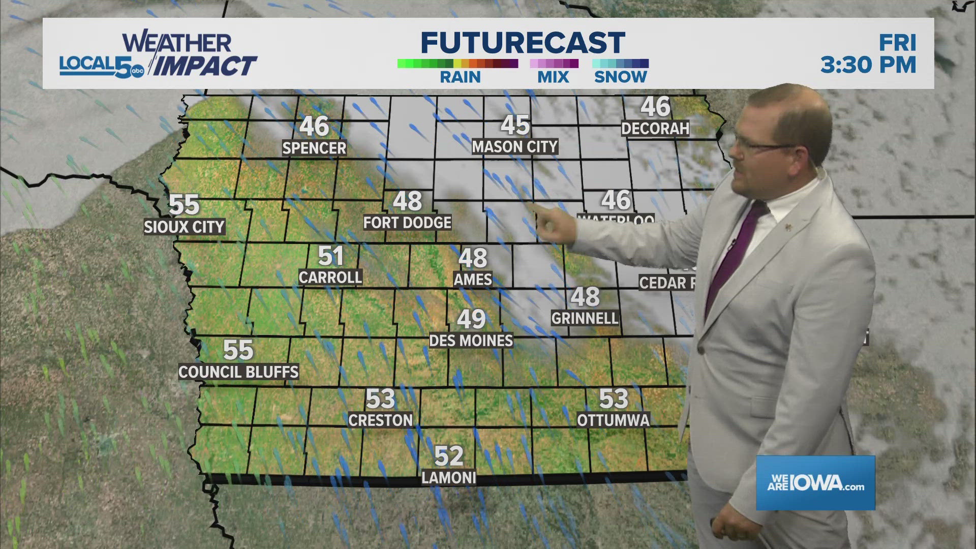
Additional storms are possible by Monday afternoon and evening over central and southern Iowa, but it's likely the heaviest rain will stay just south of the Highway 30 corridor, hopefully preventing any further flood concerns from developing in an already water-logged area.
RELATED: WEATHER LAB | How do rainbows form?


