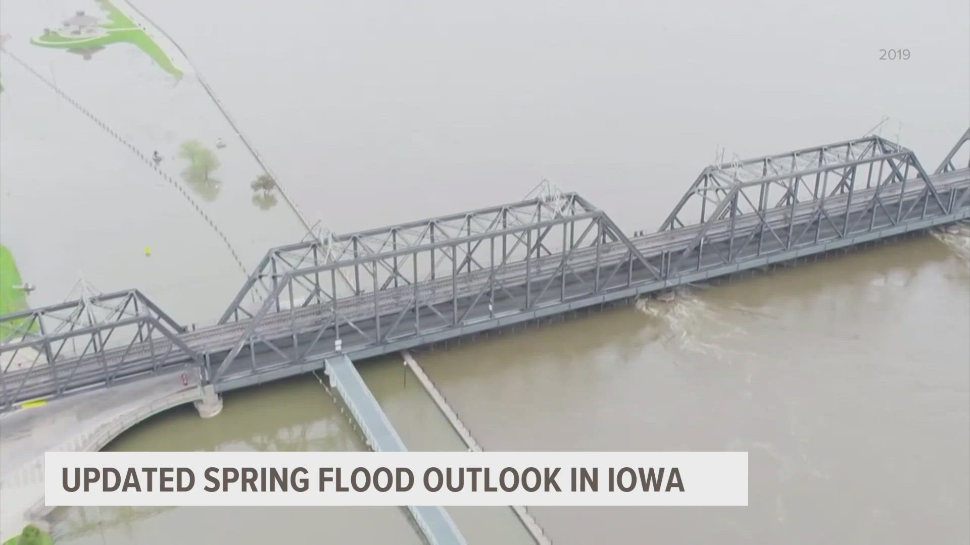
DES MOINES, Iowa — The National Weather Service office in Des Moines, in collaboration with neighboring offices, released their updated spring flood outlook for the state of Iowa Friday.
The key message was a blunt one: "Much above normal spring flood threat for the Mississippi River. Flooding along the Mississippi River has the potential to be similar to what happened in 2019."
"We try to draw parallels to past events, so people have something to compare it to. The most recent event on the Mississippi River where we had widespread major flooding was 2019," Jeff Zogg, hydrologist at the NWS Des Moines office told Local 5 Monday.
For the rest of Iowa, there is a near to a below normal spring flood threat, except for the Big Sioux River in NW Iowa, where the risk is above normal.
But the risk for eastern Iowa, particularly the Quad Cities, isn't one to ignore.
"The risk of going above flood stage right now, based on the conditions we're looking at, is greater than 90%. The risk of major flooding in some locations is over 60%," Zogg added.
Those locations are primarily near the Quad Cities, and are all along the Mississippi River.
On April 30, 2019, heavy rains caused a breach in a levee in downtown Davenport. That turned downtown streets and businesses into mini tributaries of the Mississippi. While an event like that is not explicitly forecast over the next couple months, Zogg wants residents everywhere to stay weather aware and stay up to date on the latest forecast.
"Be prepared to you know take action to protect your property and loved ones and yourself if you need to," Zogg said.
► Download the We Are Iowa app
► Sign up for Local 5's "5 Things to Know" email newsletter
► Subscribe to Local 5 News on YouTube

