DES MOINES, Iowa — Following an extended stretch of unusually dry weather, a round of soaking rain finally fell across the state of Iowa.
Rain showers started in western Iowa on Sunday morning, and rain wrapped up around 1 p.m. on Christmas Day (Monday).
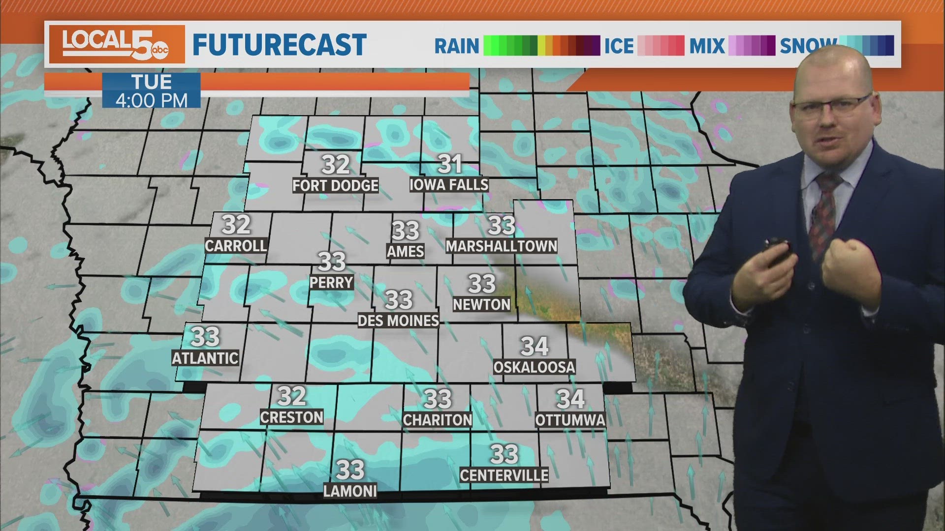
Look for snow showers to push in from the southwest through the day Tuesday: it may take until the afternoon for some. They'll be most numerous over southern and central Iowa.
These snow showers will be responsible for brief but sudden drops in visibility and some minor accumulations. Snowflakes will continue into Wednesday morning, especially over southern Iowa, before wrapping up before noon.
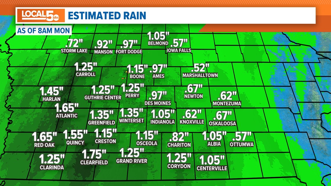
Here are some rainfall totals from around the state as of 1 p.m. Monday:
- Lamoni — 1.79"
- Ames — 1.40"
- Des Moines — 1.25"
- Mason City — 1.11"
- Waterloo — 0.82"
- Ottumwa — 0.74"
Rainfall estimates were highest west and southwest of Des Moines, where doppler radar suggests more than an inch and a half fell.


Amounts were a bit lower to the east, but just about everyone received some sort of beneifical moisture.
Additional amounts of 0.25" to 0.5" are possible before the rain winds down on Monday afternoon.
The moisture is certainly great to see after much of central Iowa was upgraded to 'extreme drought' from the U.S. Drought Monitor last week.

