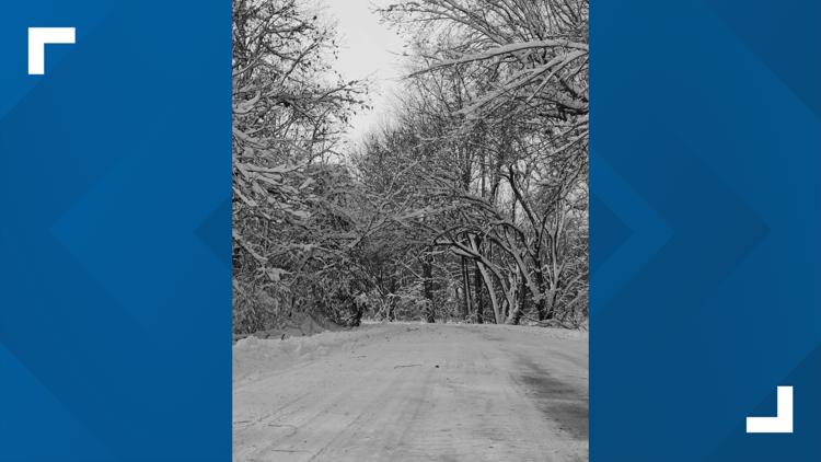
DES MOINES, Iowa — Another round of fluffy snow fell across Iowa on Thursday afternoon and evening, coating roads for at least the fourth time in just the last two weeks.
Roughly 2-4 inches of snow fell through the heart of Iowa, but a few isolated spots actually picked up more than 4 inches.
Snow ended before sunrise on Friday, but snow and slush will likely slow travel through the day, especially as the wind leads to pockets of blowing and drifting snow in rural and open areas.
The final snow tally at Des Moines International Airport was 4.1", which brings the snow total for January up to 27.2".
27.2" through Jan. 19 is enough to boost us up to the second snowiest January on record, only behind January 1886, when 37 inches of snow fell over the city.
So far this winter, Des Moines has received exactly 30 inches of snow, which is well above average to-date.
The city, on average, receives around 36.5" of snow each winter, so we are clearly creeping up to that number quickly, and we haven't even reached the end of January!
As of 10 a.m. Friday, the National Weather Service in Des Moines reported the following snow totals from Thursday's winter weather event:
- 4.8" - Pella
- 4.5" - Floris
- 4.5" - Sully
- 4.5" - Urbandale
- 4.1" - Des Moines International Airport
- 4.0" - Ankeny
- 4.0" - Dedham
- 4.0" - Grimes
- 4.0" - New Virginia
- 4.0" - Ottuwma
- 3.8" - Pleasant Hill
- 3.5" - Bevington
- 3.5" - Centerville
- 3.5" - Massena
- 3.3" - Pella
- 3.2" - Napier
- 3.2" - Fort Dodge
- 3.0" - Ames
- 3.0" - Boone
- 3.0" - Drakesville
- 3.0" - Johnston
- 3.0" - Monroe
- 3.0" - Osceola
- 3.0" - Waukee
- 3.0" - Webster City
- 3.0" - Windsor Heights
- 2.8" - Polk City
- 2.7" - Atlantic
- 2.7" - Pocahontas
- 2.5" - Brayton
- 2.5" - Carroll
- 2.5" - Iowa Falls
- 2.5" - Marshalltown
- 2.5" - Montezuma
- 2.0" - Sac City
- 1.8" - Waterloo
- 1.5" - Algona
- 0.8" - Mason City
- 0.1" - Hampton


