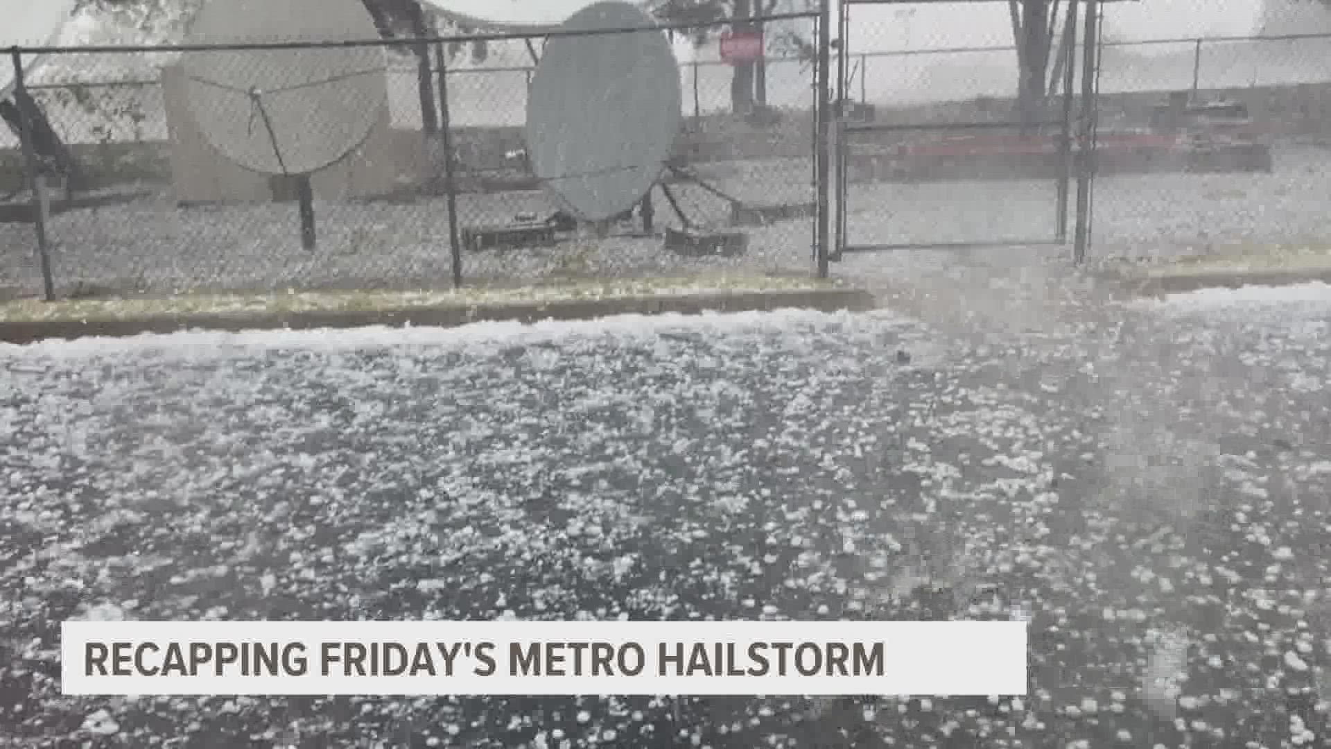
DES MOINES, Iowa — "We were highlighting the potential for hail for several days ahead of Friday," Chad Hahn, warning coordination meteorologist for the National Weather Service office in Des Moines told Local 5 on Monday.
Unfortunately, it's hard to pin down where a 3 inch diameter hailstone could fall. And on Friday, plenty of them fell in western parts of the metro.
But it was an isolated occurrence of teacup size ice falling from the clouds.
"The area that was really impacted by the hail was probably a few square miles in total," Hahn said.
The storm hit on the last Friday of summer, with many West Des Moines schools scheduled to start on Wednesday
Five different school buildings saw the most damage from the storm in the West Des Moines Community School District:
- Crossroads Park Elementary
- Fairmeadows Elementary
- Hillside Elementary
- Stilwell Junior High
- Valley High School
On Monday, the district released a statement: "All back-to-school events are proceeding as planned, and our first day of school is Wednesday, Aug. 24. Fans may be in hallways and areas to continue thoroughly drying out buildings, but we are thankfully doing very well considering the unexpected deluge we received last week."
Although 3 inch diameter hail may not have been expected, much of central Iowa was in a highlighted severe weather risk on Friday as a low pressure system pushed through the state.
The main message after Friday's storm: It doesn't take a tornado or derecho to cause significant damage.
"We have had events where the hail cores are maybe a mile wide. If that impacts an area of a community, obviously that's noteworthy and gets attention. If it's out in the middle of a farm field, it's not going to get the same amount," Hahn added.

