
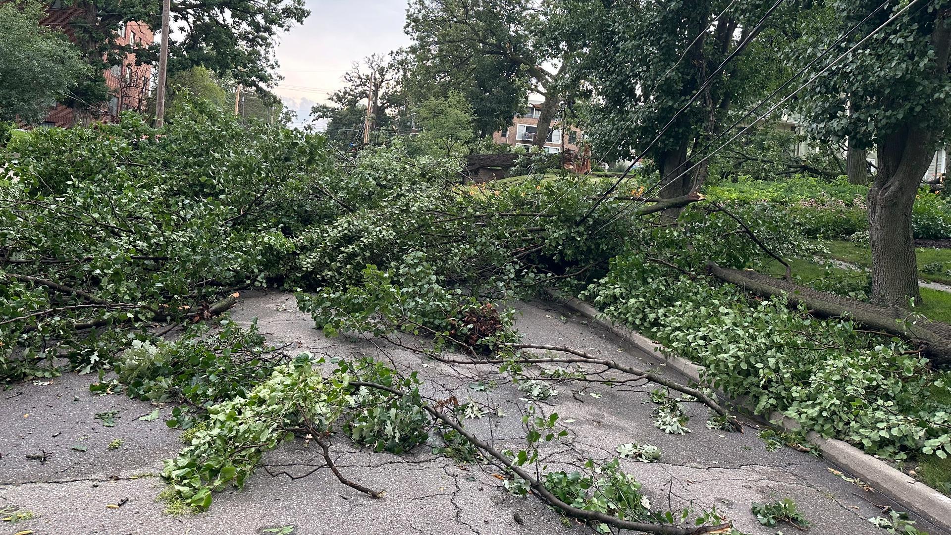
DES MOINES, Iowa — Storms wreaked havoc on parts of Urbandale and Des Moines Monday afternoon before barreling east across the state.
The storms entered the metro around 5 p.m., downing power lines, tree limbs and utility poles in its wake. Two tornadoes also touched down in the metro: one in Grimes and another in Windsor Heights.
The National Weather Service has given a tornado that passed through Urbandale, Windsor Heights and Des Moines a preliminary EF-1 rating.
The tornado's 10-minute path was over seven miles long with peak winds between 100 and 105 mph. You can see the tornado's path map below.
Were Iowa's Monday, July 15 storms part of a derecho?
Yes, the storms Iowa saw on Monday were part of a derecho, spanning from central Iowa into northern Illinois and Indiana.
Thunderstorms made their way from central to eastern Iowa, crossing into Illinois and heading toward Chicago. The National Weather Service Storm Prediction Center reports there were multiple wind gusts in the 75-90 mph range, as well as a report of a 101 mph wind gust in Ogle County, Illinois.
Featuring high winds, extensive damage and wide range, this storm system meets the criteria of a derecho.
What is a derecho?
In general terms, a derecho is a long-lived line of thunderstorms that produces intense wind gusts over a large area.
Specific criteria have to be reached in order to label a storm complex as a derecho:
- The swath of wind damage must extend for hundreds of miles, producing wind gusts of 58 mph or greater along most of its length
- It must also include several, well-separated 75 mph or greater wind gusts
- The damage path also needs to be greater than 50 miles wide
When was Iowa's last derecho?
Iowa has experienced a handful of derechos in the past five years. Prior to Monday, the most recent derecho to impact Iowa occurred on May 24, 2024, leaving heavy rain, hail damage and brief tornado touchdowns in its wake.
A derecho on June 29, 2023 affected southeastern Iowa before extending into Illinois and Indiana. A derecho on July 5, 2022 caused severe thunderstorms to roar from northwest to southeast Iowa. Earlier that year, another derecho affected parts of northwestern Iowa on May 12, 2022.
Potentially the most memorable derechos for Iowans occurred in August 2020 and December 2021. On Aug. 10, 2020, a derecho ravaged the state, producing wind damage across 90,000 square miles, The derecho led to $11.5 billion in damage and four fatalities.