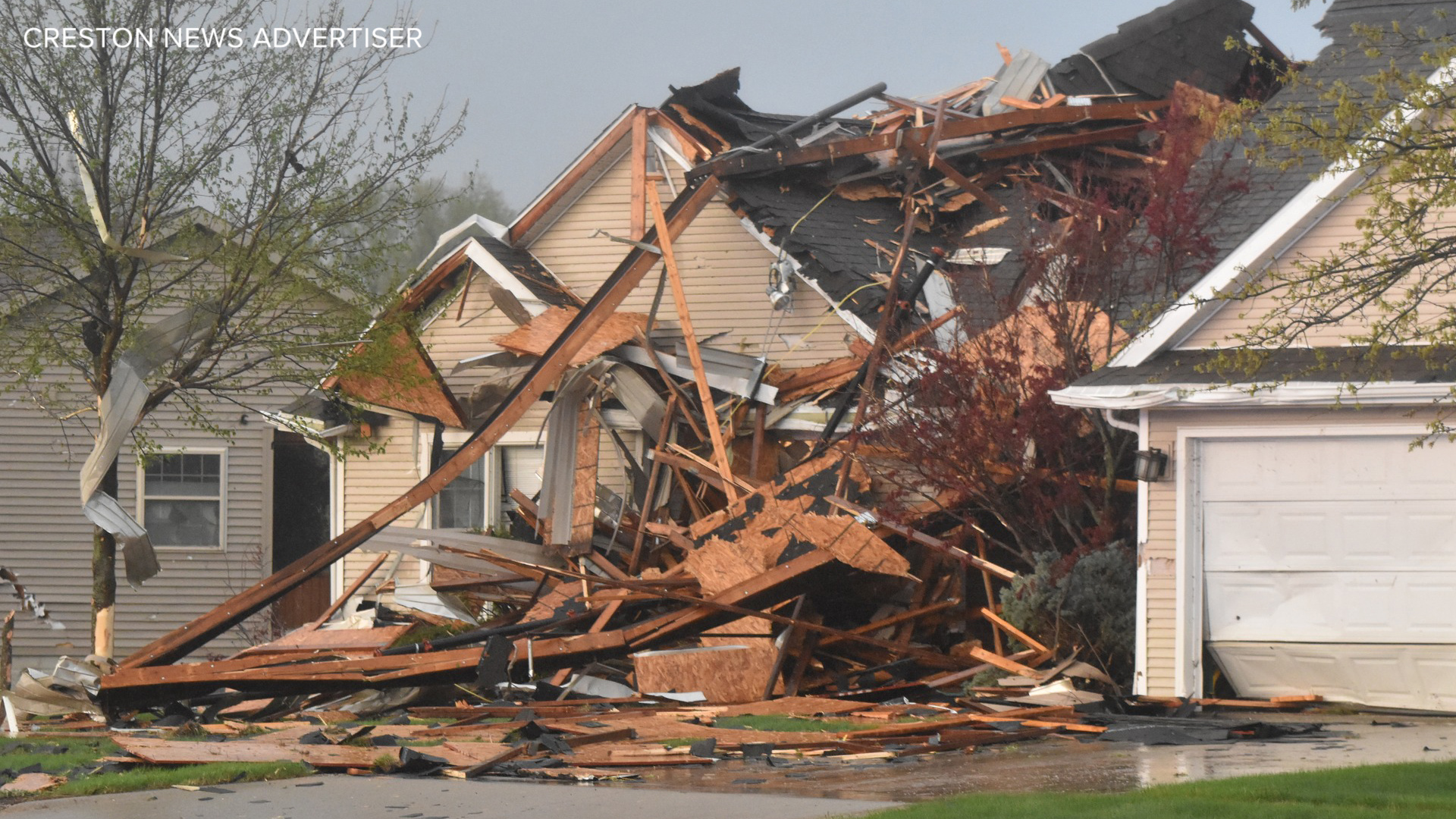
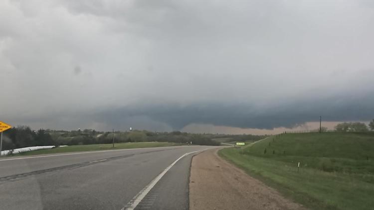
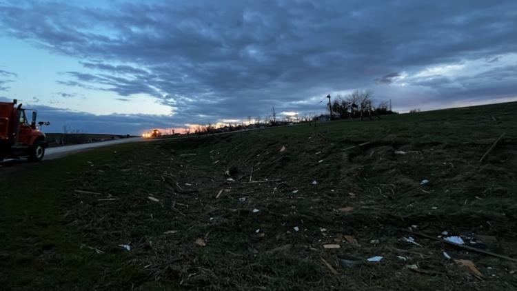
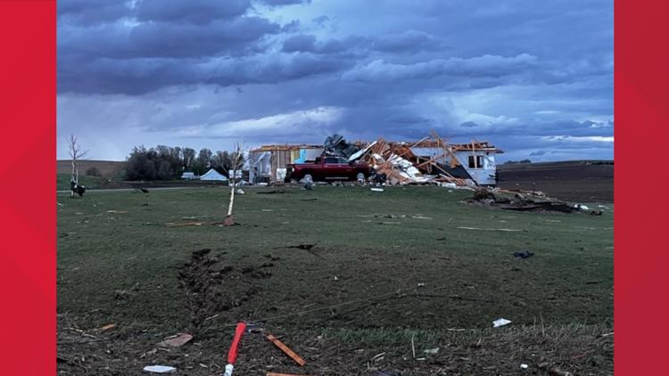
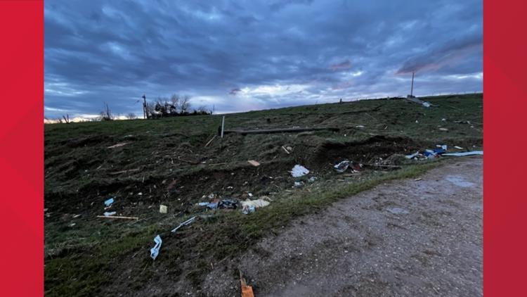
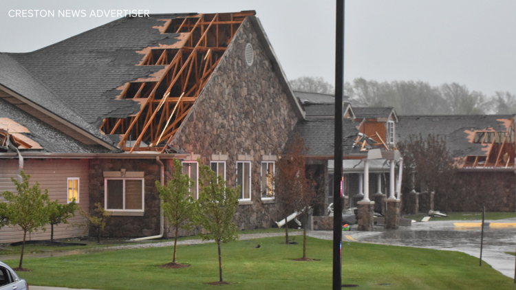
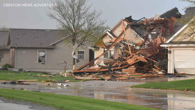
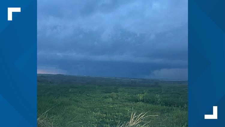
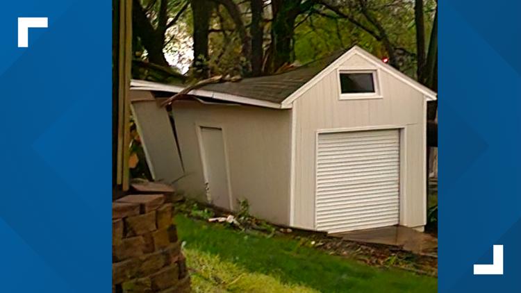
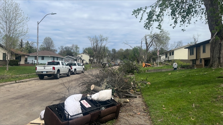
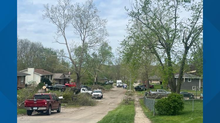
DES MOINES, Iowa — Severe weather is sweeping across Iowa Friday, bringing high winds, hail and tornadoes with it.
The Local 5 Weather Team forecasts the inclement weather will start up Friday evening and continue over the next three days, with bursts of showers and thunderstorms predicted through Sunday.
Thunderstorm energy is building along with a rise in temperatures during the early evening hours, which could be followed by a second round of supercells coming from the southwest after 5 p.m. It's expected to finish around 10 p.m.
You can view the full forecast here. A full list of storm reports from the National Weather Service is available at this link.
Latest Updates
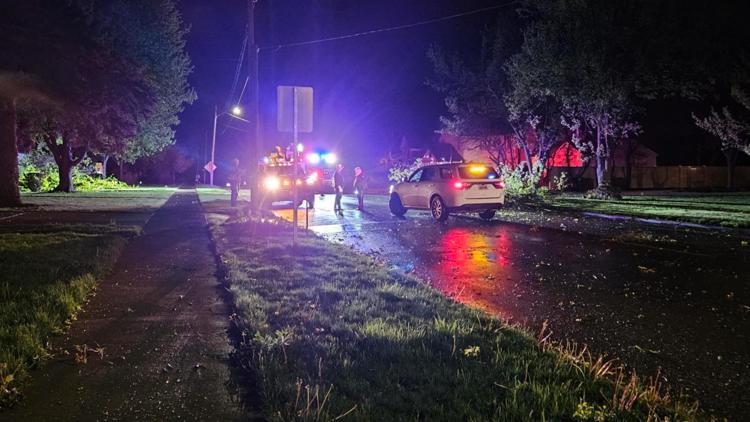
As of 9:23 p.m., Des Moines police advised travelers to avoid the 3300 block of Vandalia Road, where multiple utility poles are down and blocking the road. If you're in the area, use East University Avenue as your nearest east/west travel option.
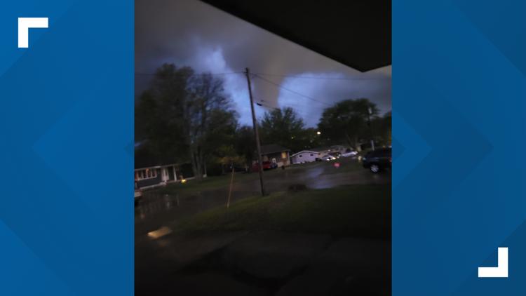
The National Weather Service Des Moines confirmed a tornado is on the ground in Pleasant Hill and headed northeast. Seek shelter immediately if you're in the area.
Iowa Gov. Kim Reynolds issued a disaster proclamation for Pottawattamie County in southwestern Iowa at 8:30 p.m.
Watches and Warnings
A Tornado Warning is in effect in the following locations:
- Polk County (11:45 p.m.)
A Tornado Watch is in effect for the southwestern part of the state through 9 p.m., according to the National Weather Service.
A Severe Thunderstorm Warning is in effect in the following locations until 8:15 p.m. unless otherwise noted:
- Creston
- Bedford
- Lenox
- Carroll
- Sac City
- Pocahontas
- Mount Ayr
- Kellerton
- Redding
Stay Weather Aware!
Power outages in Iowa
MidAmerican Energy (as of 10 p.m.)
- Council Bluffs: 3,826
- Des Moines: 10,411
- Fort Dodge: 909
- Iowa City: 0
- Quad Cities IA: 0
- Quad Cities IL: 0
- Sioux City: 14
- Storm Lake: 0
- Waterloo: 0
If you're an Alliant Energy customer, click here to view current outages.

