Download the We Are Iowa app for the latest forecast, interactive radar and livestream video of severe weather coverage.
NWS adds 13 tornadoes to count
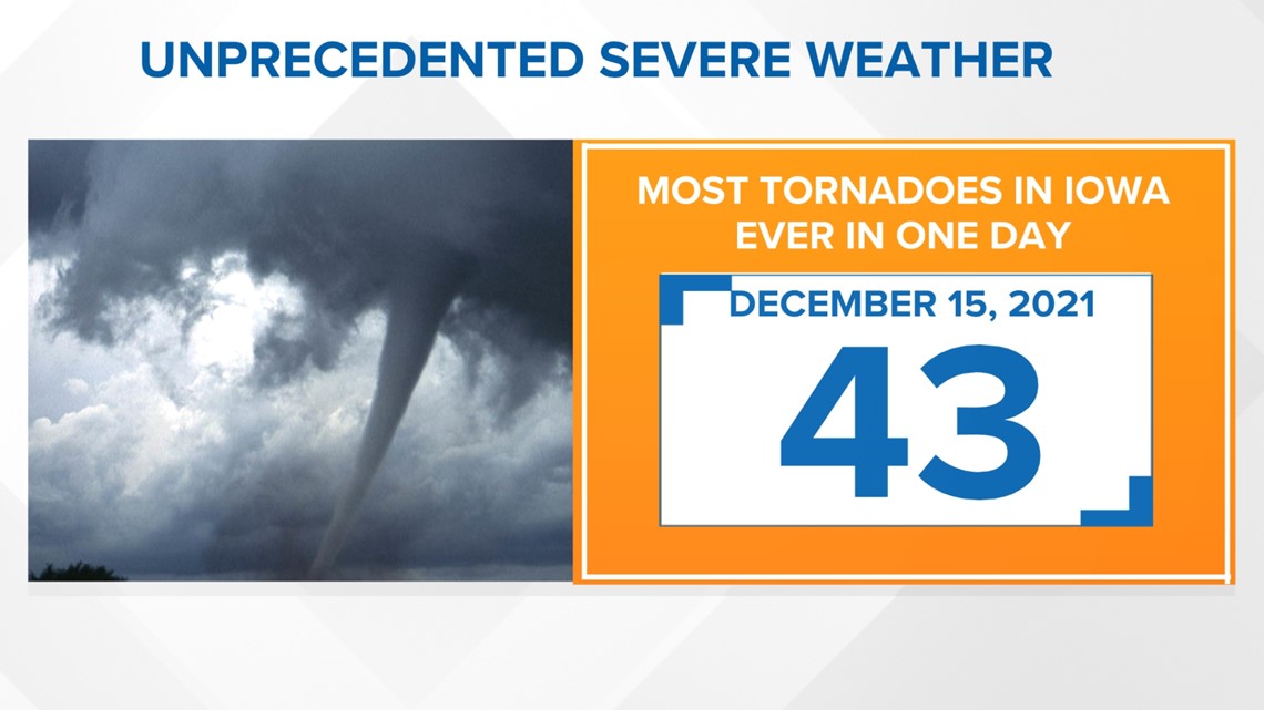
The National Weather Service confirmed 13 additional tornadoes on Dec. 22, bringing the total for the state to 43.
The total counts by rating are:
EF-2: 17
EF-1: 19
EF-0: 3
Unknown: 4
NWS said the previous record number of tornadoes in a single day was 35 in August 2014.

NWS classifies storm as a serial derecho
NWS confirms 21 tornadoes in Iowa
The National Weather Service in Des Moines has confirmed EF-2 tornadoes in Atlantic, Bayard, Bagley and Harcourt/Duncombe.
The National Weather Service has also confirmed an EF-1 tornado in Rudd as well as Cherokee County. They also confirmed two EF-2 tornadoes in Pottawatomie County Thursday evening.
On Friday, NWS confirmed six more, including an update for Lake View in Sac County, which experienced an EF-2 tornado.
Grand Junction in southeast Greene County experienced an EF-1 tornado. An EF-2 tornado swept through northeast Greene County near Dana. The rating for that tornado is preliminary.
Three more EF-2 tornadoes touched down as well. The NWS says those touched down near Stratford, Belmond and eastern Franklin County.
An EF-U tornado touched down near Somers. EF-U means the NWS didn't find any damage to structures so they could not determine how strong the tornado was.
Information on the three other tornadoes was not readily available from the NWS.
Below are the NWS rating criteria:
- EF-0 (weak): 65 to 85 MPH
- EF-1 (weak): 86 to 110 MPH
- EF-2 (strong): 111 to 135 MPH
- EF-3 (strong): 136 to 165 MPH
- EF-4 (violent): 166 to 200 MPH
- EF-5 (violent): >200 MPH
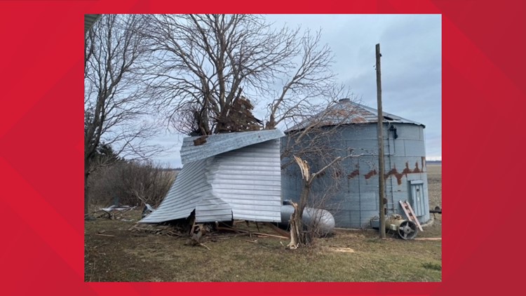
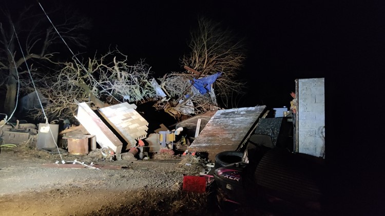
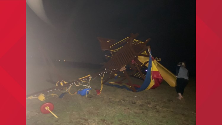
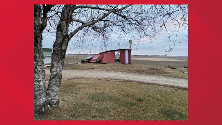
1 reported dead, damage reported across the state
A semitrailer struck by high winds rolled onto its side on southbound U.S. Highway 151 in Benton County on Wednesday evening, killing the driver, the Iowa State Patrol said.
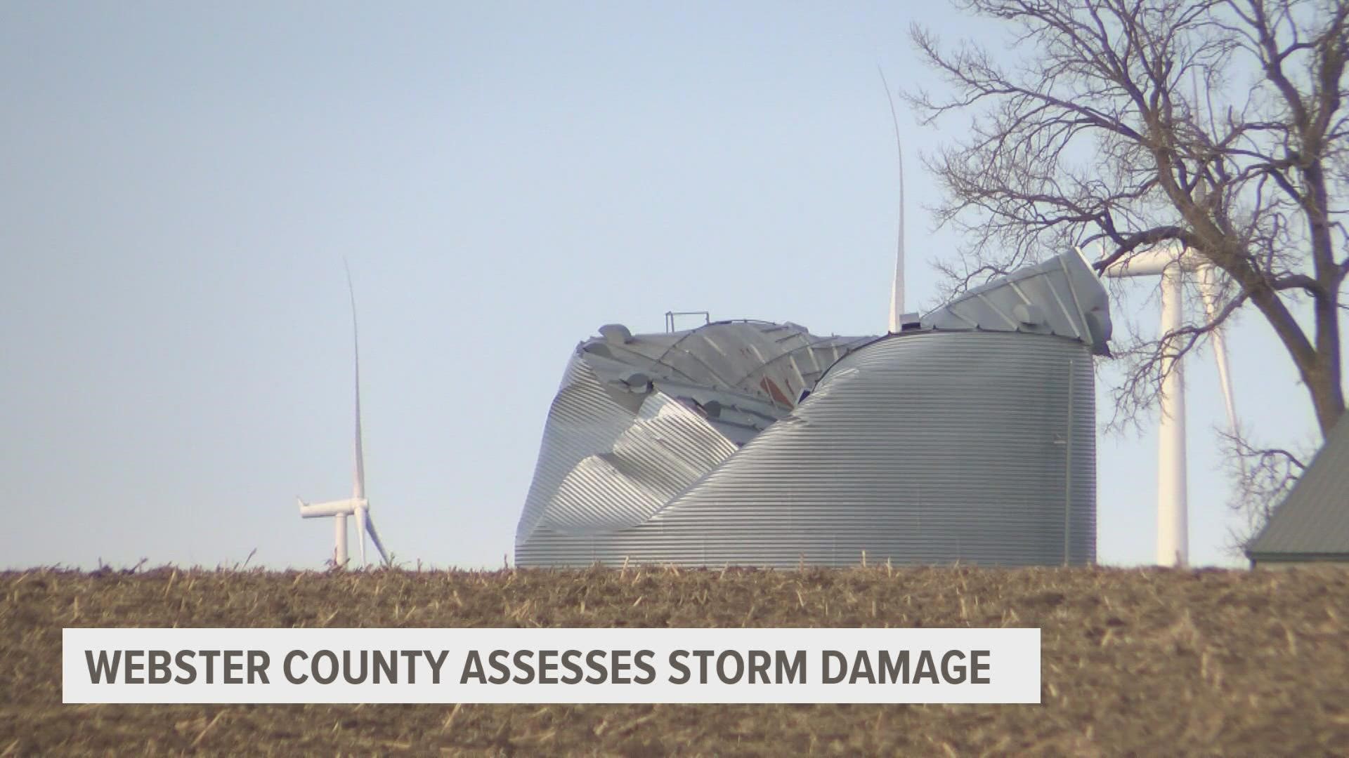
Gov. Kim Reynolds issued a disaster proclamation for 43 counties including Greene, Guthrie, Hamilton and Webster. The proclamation provides grants of up to $5,000 for households with incomes up to double the federal poverty level.
A proclamation for six additional counties came Thursday evening: Emmet, Franklin, Humboldt, Palo Alto, Pocahontas and Woodbury. On Friday, the governor issued one more proclamation for Carroll County.
Those affected can apply for assistance here.
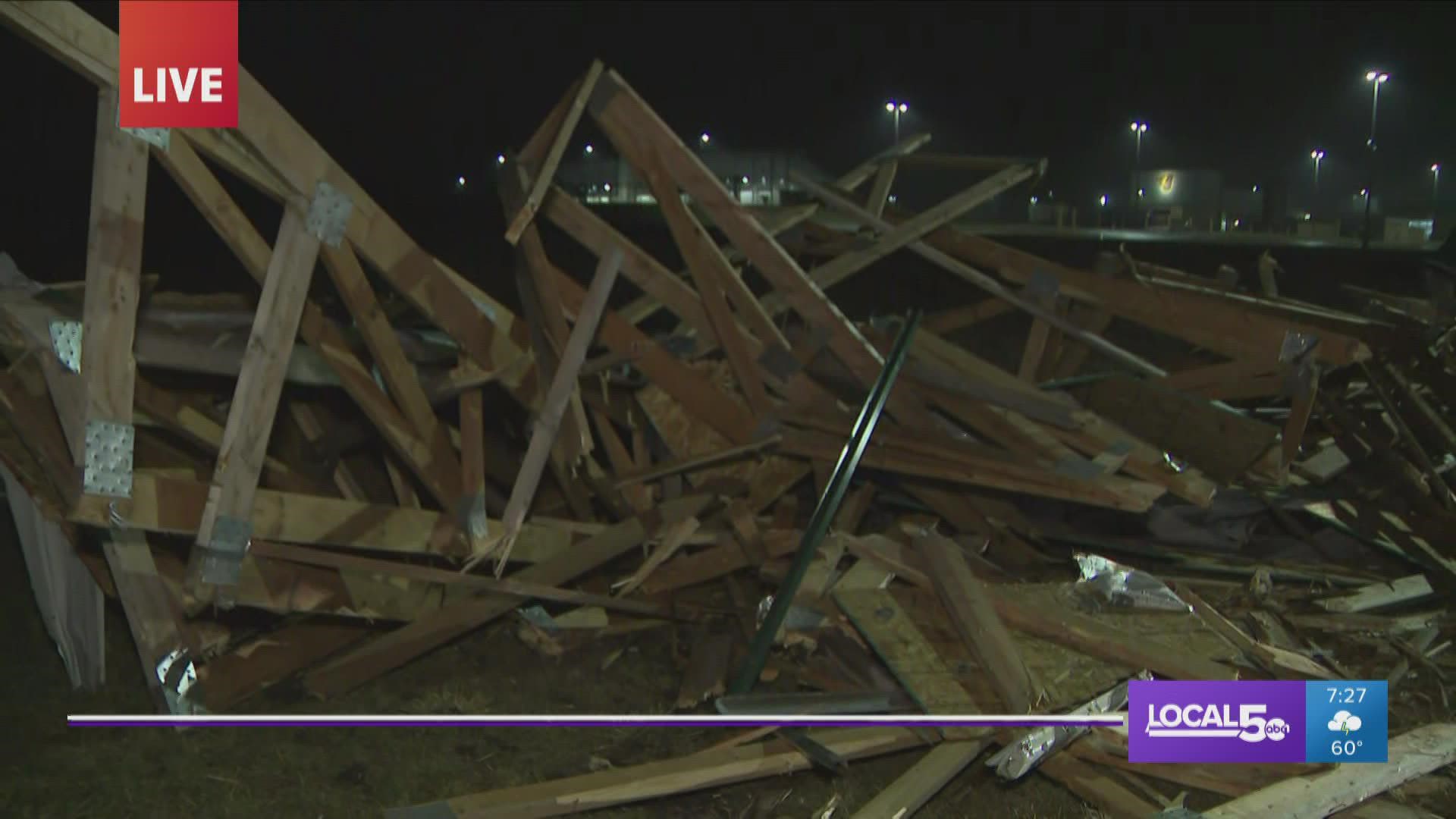
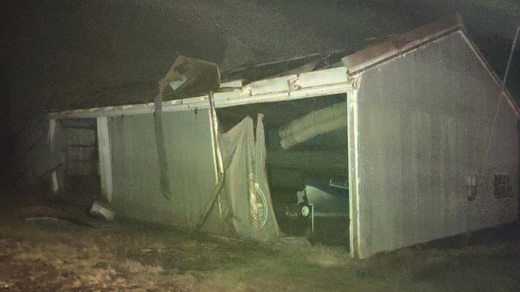
The Johnston Police Department said Wednesday night the roof of an outdoor learning environment built by students was blown into the street. A public works team has since cleared it from the roadway.
The town of Rudd, located in Floyd County, is closed to non-residents after "wide-spread damage" Wednesday, according to the Floyd County Sheriff's Office. The county emergency management agency said power lines and trees are down and the water treatment plant was hit, so the town is expected to be without power and water for a few days.
No injuries have been reported.
The Rudd Rockford Marble Rock Community School District canceled classes Thursday and said the school building will be open for showers, warmth and meals.
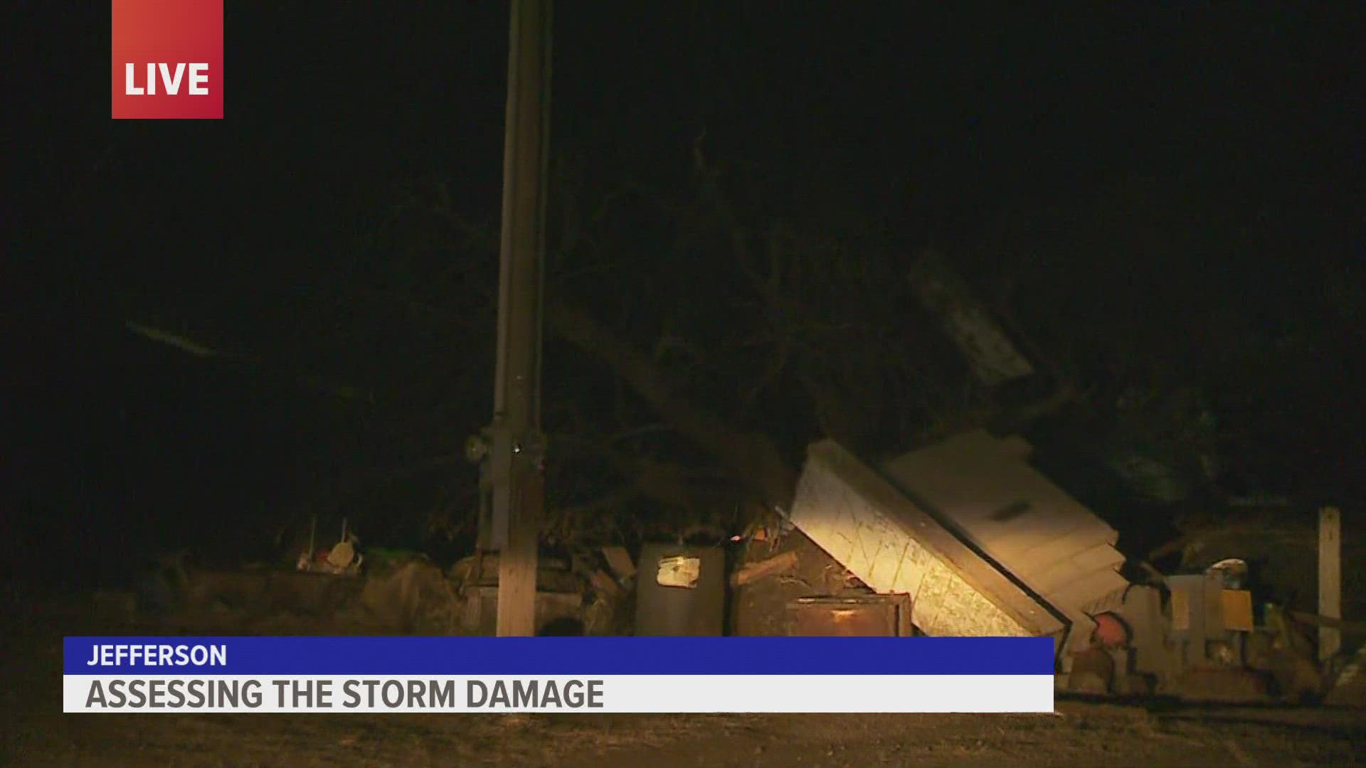
Another one of the hardest-hit areas is the town of Jefferson.
Power lines are down and Local 5's team witnessed significant damage Wednesday night.
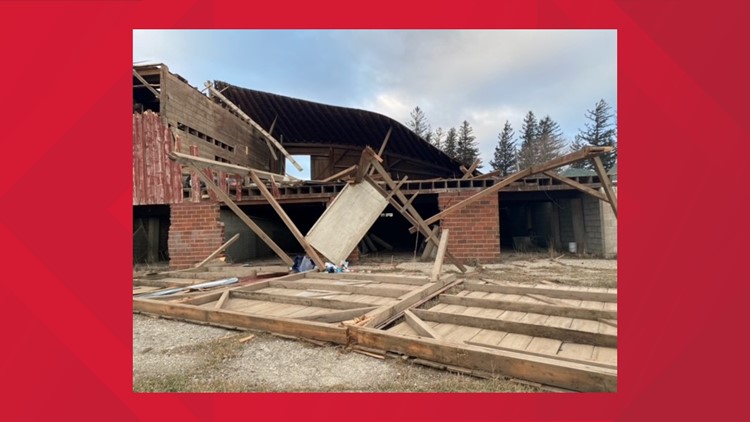
The National Weather Service will be surveying storm damage in Guthrie Center, Atlantic and other areas of the state Wednesday. They said the challenge will be determining what damage is from tornadoes versus what is from straight-line wind.
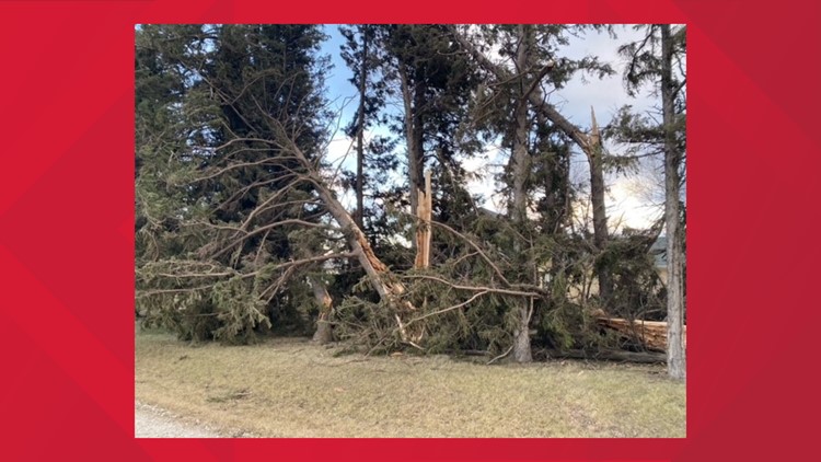
Cleaning up trees and debris
The Iowa Department of Natural Resources (DNR) is urging Iowans to be cautious in cleaning up fallen trees.
Emma Hanigan, urban forestry coordinator for the DNR, suggests homeowners hire a professional if they do not have the experience, ability, and equipment to safely do their own cleanup.
Hanigan said anyone planning to do their own tree cleanup should wear safety equipment, including hand, foot, leg, eye, face, hearing and head protection. The DNR also recommends avoiding wearing loose-fitting clothes while using a chainsaw.
After cleanup is done, homeowners can have trees examined by a professional arborist to see if they can be saved. The DNR has more tips here.
West Des Moines' plan to pick up debris
The Metro Waste Authority encourages folks to use the Metro Waste Compost-It program to clear up debris from Wednesday's storm. The winter collection period will last from Dec. 27 through Jan 7.
MWA says Christmas trees, branches and any remaining yard waste must be on the curb by 6 a.m. on a resident's collection day during this two-week period. There won't be any holiday collection delays since both holidays are on weekends.
Make sure to follow these rules:
- Yard waste should be placed in a Compost It! Bag or a store-brand bag with a Compost It! sticker attached. If you have Compost It! cart service, yard waste may be placed in it for collection.
- Brush bundles cannot exceed 18 inches in diameter or 4 feet in length, and each bundle must have a Compost It! Sticker attached.
- Branches must be placed on city right-of-way “parallel” to the curb. The placement of branches in the same direction as the street and/or sidewalk allows mechanical equipment to load the material efficiently and minimize damage to the right-of-way. Crews will not be collecting material that is on private property.
- Tree branches should not be placed in close proximity to fire hydrants, mailboxes, utilities or any other item in the right-of-way which could be damaged by equipment during the collection.
- No tree material from work done by private contractors should be placed on the right-of-way for collection. Contractors are required to haul away any tree debris that is a result of their work.
- A Compost It! Sticker must be placed on Christmas trees, and all decorations must be removed. Wreaths and garlands are not accepted.
Gallery: Severe weather across Iowa Wednesday
Record-breaking weather
- The afternoon high of 74 degrees at the Des Moines International Airport set both daily and monthly records. The previous record for the month of December was 69 and occurred six times, most recently 2017.
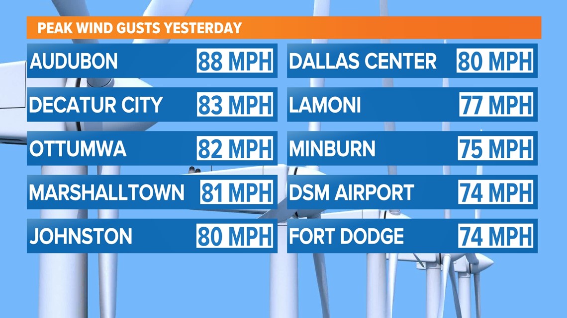
- A 74 MPH wind gust recorded at DSM at 8:28 p.m. (after storms passed) was the strongest non-thunderstorm gust recorded since 1970.
- There was the highest number of significant wind (75+ mph) reports in a day since at least 2004, with at least 55 reported. The previous record was 53, set in the August 2020 derecho.
- The first tornadoes were recorded in central or western Iowa during the month of December. Five previous tornadoes in the state in December were well east of I-35.
- The first tornado warnings were issued by NWS Des Moines in December since at least 1986.

Thousands remain without power
As of 4 p.m. Thursday, MidAmerican Energy said 6,725 customers remained without power across the state. The company said more than 65,000 customers lost power at some point due to the storm.
"This was a high wind event that occurred throughout our service area from southwest to northeast. So it affected a lot of territory," said Geoff Greenwood with MidAmerican Energy. "And so we've had to send crews to various locations all at the same time."
The majority of those outages are in the Des Moines, Fort Dodge and Council Bluffs areas. MidAmerican said all power should be restored to Des Moines by 6 a.m. Friday. Most power should be restored for Fort Dodge and Council Bluffs residents by midnight with all power restored to Fort Dodge by 6 a.m. Saturday and all power restored to Council Bluffs by 6 p.m. Saturday.
RELATED: Why is it so smoky outside?
Some schools closed in the metro
Classes are canceled Thursday at King Elementary, Willard Elementary and North High School in Des Moines as well as Urbandale High School do to power outages. Webster City Schools are on a two-hour delay Thursday.
WATCH | TEAM COVERAGE: Damage reports roll in, thousands without power across Iowa

