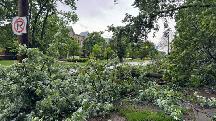
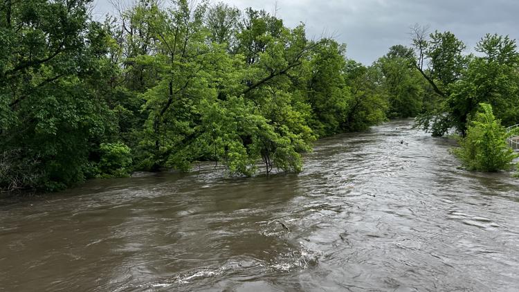
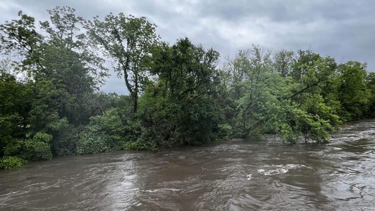
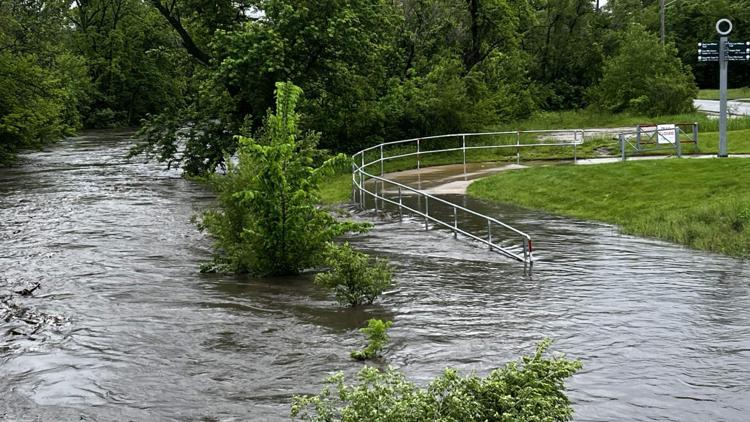
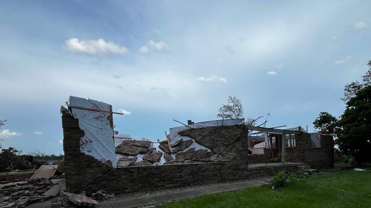
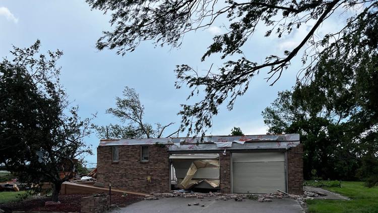
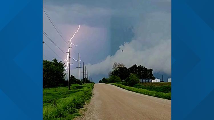
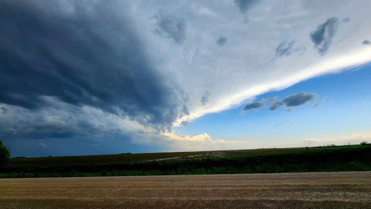
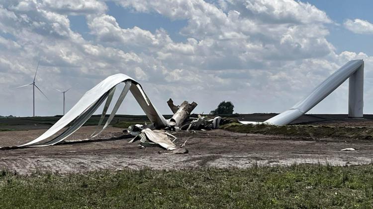
DES MOINES, Iowa — Tuesday is shaping up to be an active day in central Iowa as storms began overnight and will largely continue throughout Iowa into the evening.
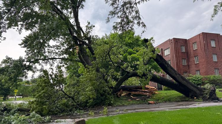
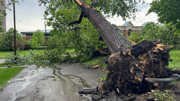
The Local 5 Weather Team forecasts storms will move into our western counties between 2 and 3 p.m. before continuing to the east. All severe hazards are possible, including a few strong tornadoes, high winds and hail exceeding 2" in diameter. The greatest potential for severe storms lies between 2 and 7 p.m.
You can view the full forecast here. A full list of storm reports from the National Weather Service is available at this link.
Stay Weather Aware!
Watches and Warnings
A Tornado Warning was issued for the following areas:
- Waverly (6:30 p.m.)
- Parkersburg (6:30 p.m.)
- Clarksville (6:30 p.m.)
A Tornado Watch was in effect until 9 p.m. for the following counties:
- Adair County
- Adams County
- Appanoose County
- Audubon County
- Boone County
- Calhoun County
- Carroll County
- Cass County
- Clarke County
- Dallas County
- Davis County
- Franklin County
- Green County
- Guthrie County
- Hamilton County
- Hardin County
- Humboldt County
- Jasper County
- Keokuk County
- Lucas County
- Madison County
- Mahaska County
- Marion County
- Marshall County
- Monroe County
- Pocahontas County
- Polk County
- Poweshiek County
- Ringgold County
- Sac County
- Story County
- Tama County
- Taylor County
- Union County
- Wapello County
- Warren County
- Wayne County
- Webster County
- Wright County
The National Weather Service has categorized this system as a "particularly dangerous situation". The storm has potential to bring several strong tornadoes, scattered hail and winds up to 90 miles per hour.
Severe weather in Iowa: May 21, 2024
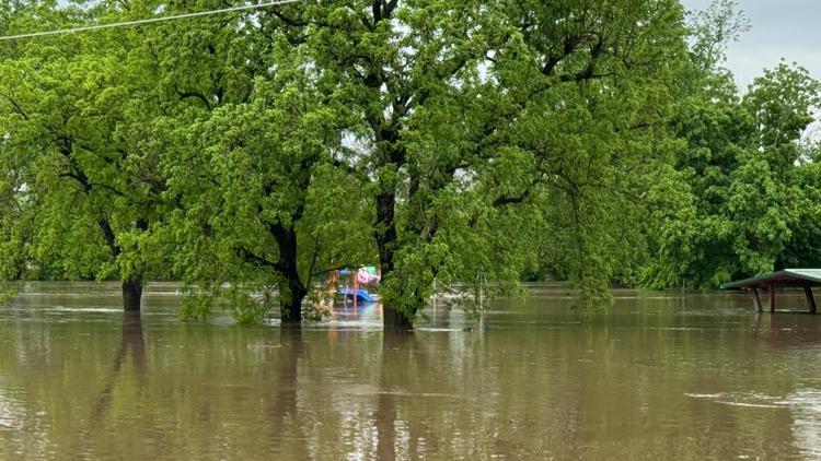
A Flash Flood Warning is in effect until 11:15 p.m. for the following counties:
- Audubon County
- Cass County
- Franklin County
- Guthrie County
- Hardin County
- Jasper County
- Marshall County
- Poweshiek County
- Story County
- Tama County
- Wright County
Power Outages
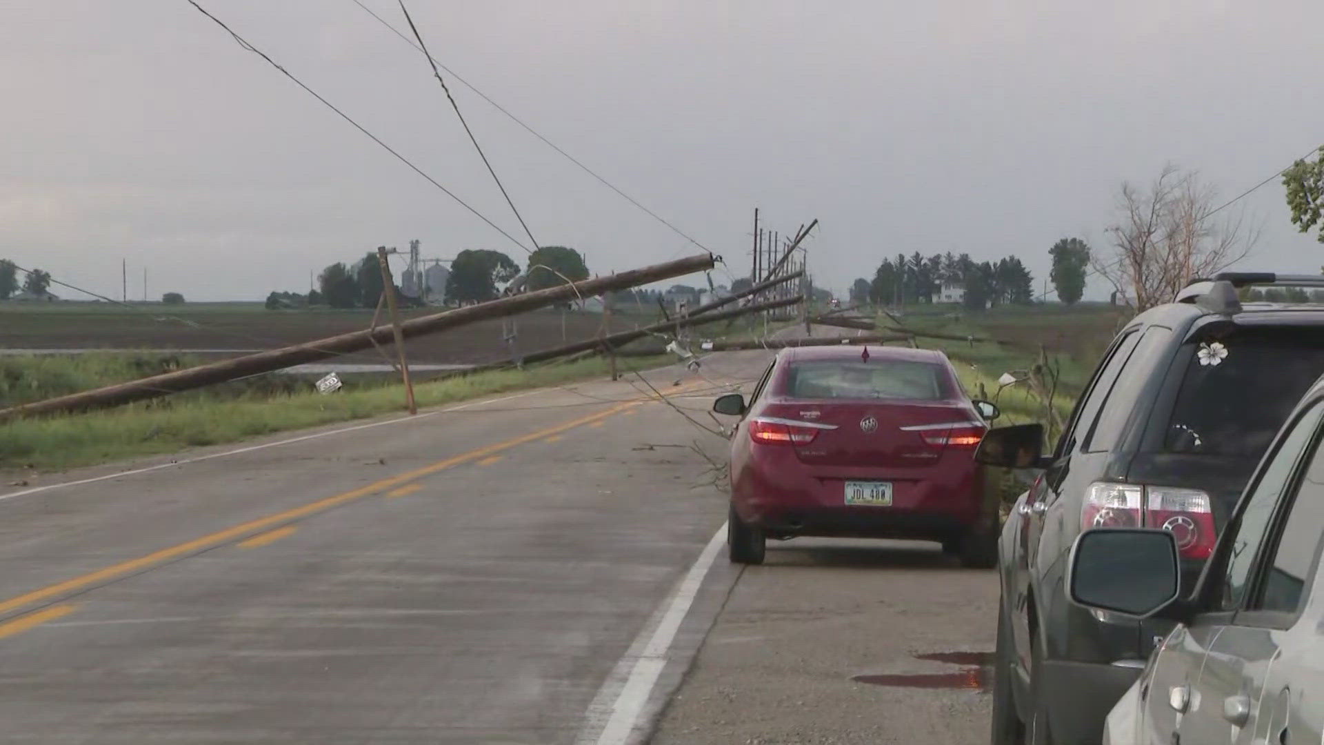
More than 21,000 MidAmerican Energy customers are without power as of 9:30 p.m. Tuesday, including 13,737 in Des Moines. Click here to view the outage map.
Alliant Energy's outage map shows around 377 customers without power.
MidAmerican customers without power:
- Council Bluffs - 128
- Des Moines - 13,737
- Fort Dodge - 1,916
- Iowa City - 222
- Quad Cities - 24
- Sioux City - 1
- Storm Lake - 1
- Waterloo - 5,325
Traffic Alerts
5 p.m.
More than 20,000 Des Moines households were left without power in the city, with some traffic signals malfunctioning.
10:33 a.m.
The Iowa Department of Transportation has closed both directions of Euclid Avenue near Delaware Avenue in Des Moines due to flash flooding.
9:11 a.m.
Jasper County has issued a Travel Advisory for Tuesday, May 21.
"Residents are urged to avoid unnecessary travel as authorities continue to assess the situation," the county said in a social media post.
6:52 a.m.
The Des Moines Police Department says the 200 block of E Euclid Avenue is seeing traffic delays due to "multiple vehicles stalled in the flooded roadway."

