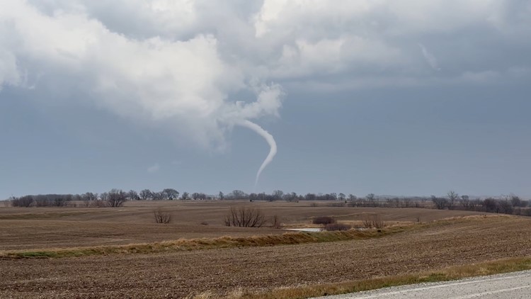
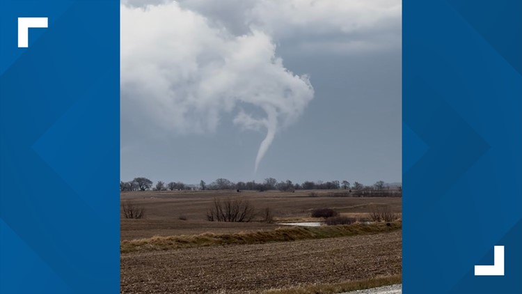
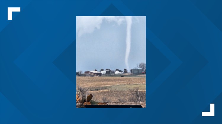
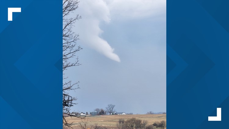
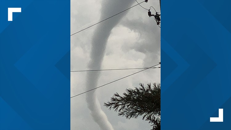
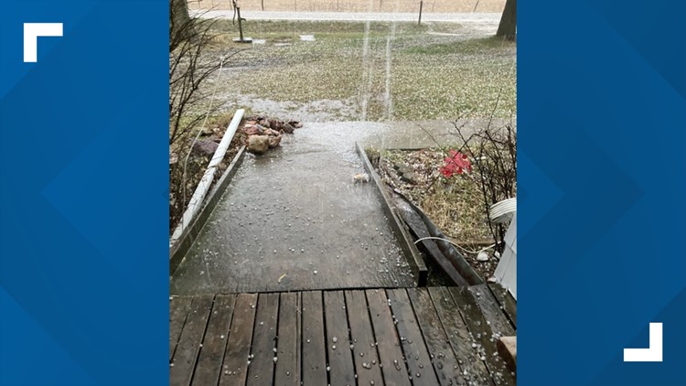
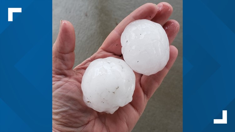
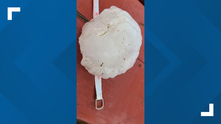
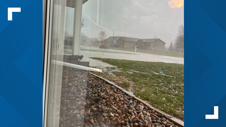
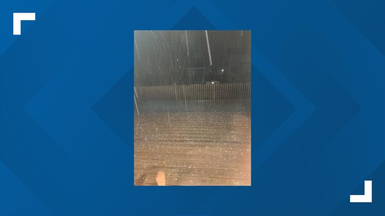
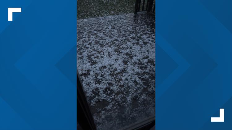
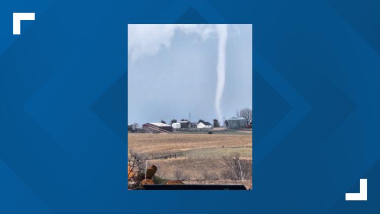
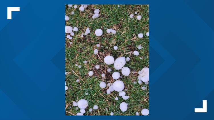
IOWA, USA — Severe weather has impacted central and southern Iowa once again.
Local 5's Weather team forecast all severe weather hazards were possible between 4 p.m. and 10 p.m. Tuesday, including large hail, high winds and tornadoes.
Temperatures were up in the affected areas prior to the storms, with central Iowa hitting the 70s and southern Iowa nearing the 80s. The influx of warm, humid air will trigger storm activity by early to mid-evening.
As of 3 p.m. Tuesday, a tornado watch was in effect for all of central and southern Iowa until 10 p.m.
This storm system comes only days after at least seven tornadoes touched down in Iowa.
Read the full forecast here.
Stay Weather Aware!
Latest Updates
A tornado warning was in effect until 8:30 p.m. for the following counties:
- Poweshiek County
- Tama County
A Tornado Watch was in effect for all of central and southern Iowa until 10 p.m. Tuesday.
This impacted the Des Moines metro into Missouri and Illinois, covering a population of 3.4 million people.
Severe Thunderstorm Warnings were in effect for the following counties:
- Grundy (9:45 p.m.)
- Jasper (9:45 p.m.)
- Madison (9:30 p.m.)
- Marion (9:30 p.m.)
- Marshall (9:45 p.m.)
- Polk (9:30 p.m.)
- Story (9 p.m.)
- Tama (9:45 p.m.)
- Warren (9:45 p.m)
Click here for guidelines on building your severe weather preparedness kit as the storms approach.
Power Outages
These outages were updated at 11 p.m. Tuesday. For real-time outages, visit the MidAmerican or Alliant website.
Reported MidAmerican outages
*Customers, by metro area
- Council Bluffs: 1
- Des Moines: 6
Total: 7
Reported Alliant outages
*Customers, by county
- Buchanan: 1
- Decatur: 1
- Fayette: 3
- Grundy: 39
- Lucas: 104
- Marshall: 26
- Taylor: 1
- Union: 1
- Warren: 1
Total: 177


