
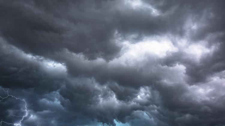
DES MOINES, Iowa — Parts of the Midwest are under a Particularly Dangerous Situation (PDS) Tornado Watch during Tuesday's severe weather.
With portions of Iowa, Northwest Illinois, Southeast Minnesota and Western Wisconsin on high-alert for dangerous storms, heightened winds and more, residents might be asking: What exactly is a PDS Watch?
According to NOAA's National Weather Service glossary, a PDS Watch is "used in rare situations when long-lived, strong and violent tornadoes are possible. This enhanced wording may also accompany severe thunderstorm watches for intense convective wind storms."
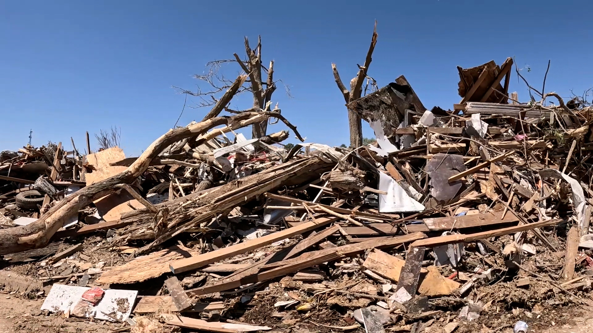
Typically, PDS Watches are issued when there are increased chances for long-track tornadoes and incredibly damaging storms in the area.
A National Weather Service spokesperson told Local 5 that PDS Watches are a rare advisory, typically only appearing once every three to five years. The last PDS Watch issued in central Iowa was issued on March 31, 2023, with another in 2019.
Iowa severe weather forecast
The Local 5 Weather Team forecasts storms will move into our western counties between 2 and 3 p.m. before continuing to the east. All severe hazards are possible, including a few strong tornadoes, high winds and hail exceeding 2" in diameter. The greatest potential for severe storms lies between 2 and 7 p.m.
You can view the full forecast here. A full list of storm reports from the National Weather Service is available at this link.