WEST DES MOINES, Iowa — The National Severe Storms Laboratory, or NSSL, turns 60 years old this year.
The NSSL is a federal research laboratory that is under NOAA (National Oceanic and Atmospheric Administration). Their office is currently located in the National Weather Center in Norman, OK, but it actually began in Kansas City.
In 1962 the National Severe Storms Project moved from Kansas City to a Radar Laboratory in Norman. Just two years later, the entire NSSP moved to Norman and reorganized to become the NSSL headed by new director Edwin Kessler.
Since then, the NSSL has done numerous research projects that help us better forecast and understand extreme weather events.
In 1967, the first ever dual-Doppler experiment in the United States was conducted by the NSSL to get two different views of the same storm (About NSSL: NSSL History ). Even today, the NSSL continues to conduct more research and create helpful forecast tools to be used in the future.
The Warn-on-Forecast system is an experimental system that the NSSL has been working on in hopes of giving people an earlier warning before a tornado hits (THE WARN-ON-FORECAST SYSTEM: A Weather Forecasting Moonshot – NSSL News). The tornado warnings that are put out by the National Weather Service (NWS) are only put out when a spotter reports a funnel cloud or tornado, or if radar shows signs of producing a tornado. Those warnings sometimes only give people a 15-minute heads-up about a potentially dangerous situation. This experimental system is looking to change that.
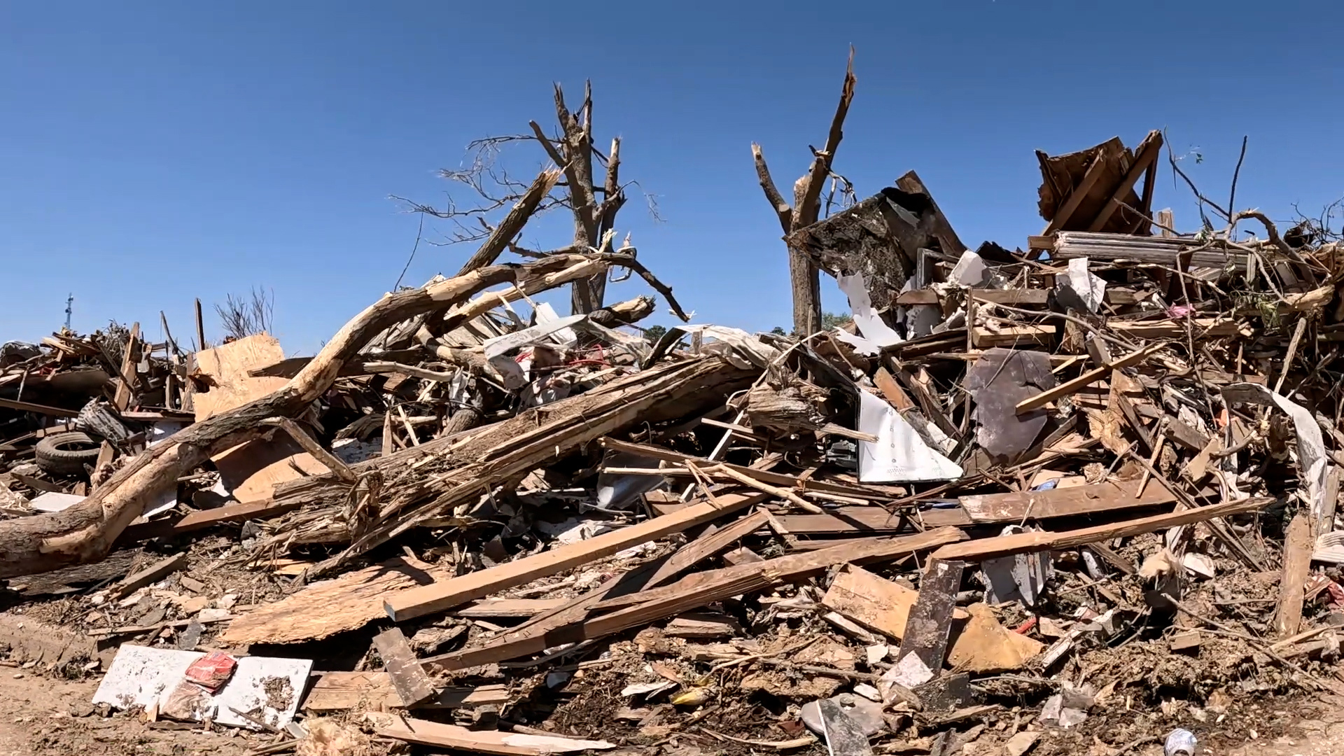
The NSSL used the Warn-on-Forecast with the storms in Iowa on May 21, 2024. The system showed an area with a strong probability of extremely strong rotation near the ground and Greenfield was within that area (SCIENCE IMPACT: Experimental Warn-on-Forecast System yields 75-minute lead time on violent tornado – NSSL News).
The NWS in Des Moines was relayed the information, giving it a 75-minute heads-up that a tornado could form in or around the town of Greenfield.
Unfortunately, the experimental system only shows areas of probability. It does not show an exact path or the potential strength of a possible tornado.
Projects the NSSL is working on will continue to help meteorologists better predict and understand extreme weather. Systems like the Warn-on-Forecast could help save lives once it gets fine-tuned.

