DES MOINES, Iowa — Each time Arctic air moves into the lower 48 states, the phrase "polar vortex" is inevitably used.
Unfortunately, the term gets misused fairly regularly, so it's a good idea to clear things up.
The polar vortex is a large, counterclockwise circulation over the Earth's south and north poles, similar to a polar jet stream.
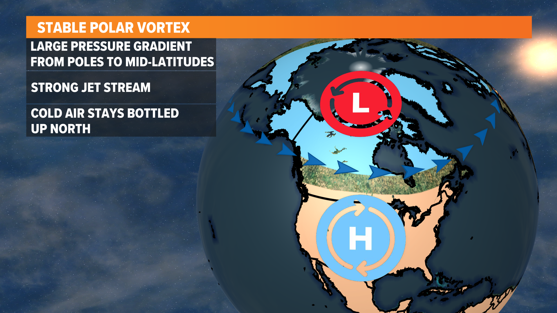
When the polar vortex is stable, strong low pressure at the pole helps maintain a strong jet stream that moves east to west.
Essentially, the stable polar vortex keeps the most bitter Arctic air bottled up at higher latitudes and away from the United States.
On the other hand, when the polar vortex becomes wavy, the jet stream weakens, allowing the coldest air to spill southward.
In this scenario, the U.S. typically sees its coldest weather of the year.
Although the polar vortex is obviously associated with winter, it always exists at the poles.
It is much stronger in the winter and weakens during the summer.
While this term is used recently to describe extreme weather, the cold air associated with the polar vortex has always affected Iowa and other parts of the upper Midwest.
In fact, the term is not new to meteorologists at all. Surprisingly, the phrase was first used as early as 1853.
Another misconception lies in where the polar vortex itself exists.
It is actually located tens of thousands of feet above the ground, meaning it is not something you can visually observe.
The polar vortex is not a scene from The Day After Tomorrow, it is winter in the real world.

