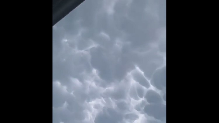
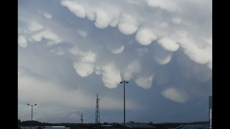
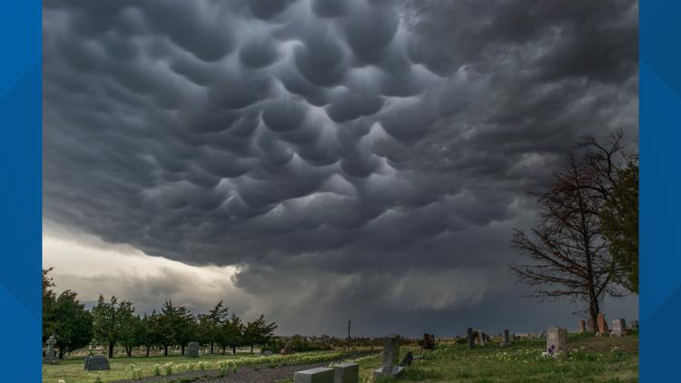
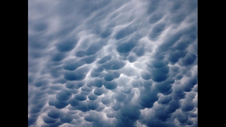
DES MOINES, Iowa — Some clouds just catch your eye more than others, and mammatus clouds definitely fall under that category.
These ominous, pouch-like clouds are unlike any other cloud because of how they look and how they form. Their name comes from the Latin word mamma, meaning “udder” or “breast”.
Mammatus clouds develop below the base of a cloud, most commonly the anvil of a cumulonimbus cloud. While they may seem threatening, it doesn't necessarily guarantee a strong storm is coming your way.
These anvils and mammatus clouds can often extend dozens of miles away from the dangerous part of a thunderstorm.
In fact, these clouds don't produce any rain at all.
Even though these clouds often form on tornadic thunderstorms, there is no direct correlation between tornadoes and mammatus clouds.
Mammatus Clouds
Unlike virtually all other clouds which form by rising air, mammatus clouds are caused by sinking air.
Some studies show they may develop because the saturated air of a thunderstorm anvil is denser than the dry surrounding air. Scientists theorize the higher density forces the moist air in the anvil to sink rapidly.
Mammatus clouds pose a serious risk for low-flying planes due to the rapid turbulence caused by this descending air.
Research on the specific mechanisms of mammatus is still being studied.
We may not know everything about mammatus clouds, but we do know they are spectacular to watch.


