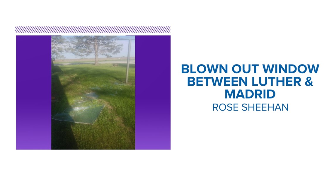
DES MOINES, Iowa — On Saturday afternoon, just before 5 p.m., a viewer left a voicemail in the Local 5 weather department's inbox saying a storm that looked like a derecho passed over her home in Boone County.
Her screened-in windows were blown out, and shortly after, the National Weather Service issued a severe thunderstorm warning for Story and Marshall counties after a 65 mph gust was recorded at the Ames Municipal Airport.


It wasn't a derecho, in fact, at the time, there wasn't even any lightning on the strong shower as it moved into Story County.
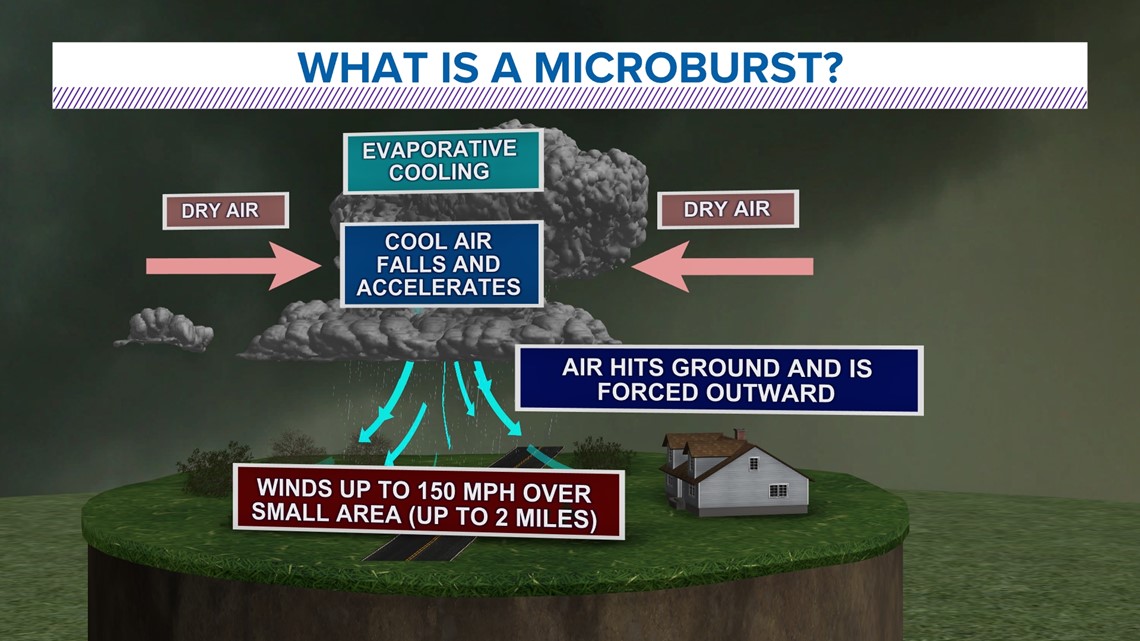
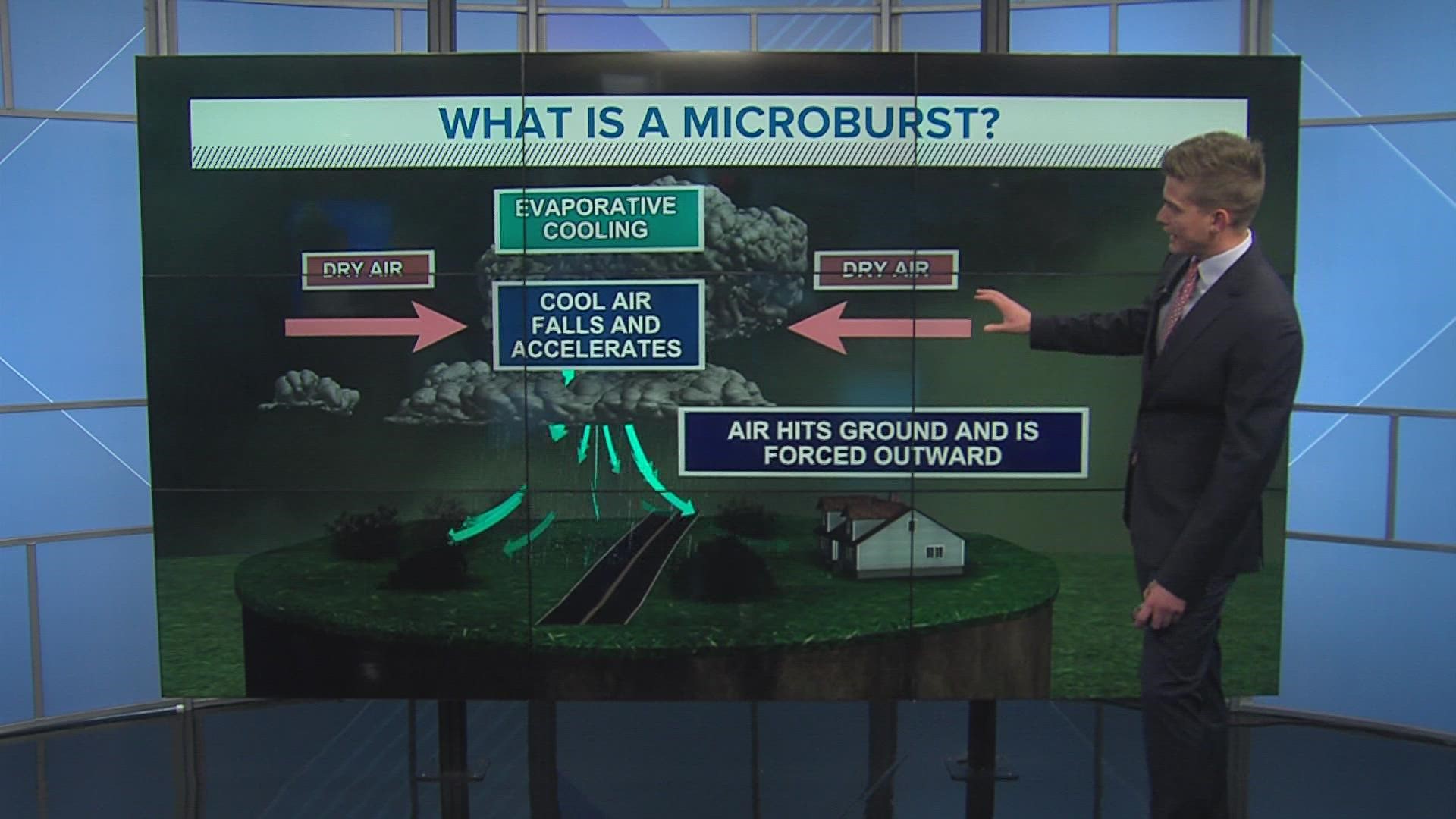
What happened instead was a microburst. A microburst is a downburst on a smaller scale, generally less than 2.5 miles wide.
A microburst is a localized column of sinking air, or a downdraft, within a thunderstorm and is usually less than or equal to 2.5 miles in diameter. Microbursts can cause extensive damage at the surface, and in some instances, can be life-threatening.


In one fatal case, on Aug. 2, 1985, Delta Airlines Flight 191 took off from Fort Lauderdale and was on approach to land at DFW. About a mile short of the runway, the aircraft crashed, essentially taken out of the sky by a microburst.
Straight-line wind speeds in microbursts can reach up to 100 mph, or even higher; equivalent to an EF-1 tornado.
Speeds like that go to show that it is very important that Severe Thunderstorm Warnings are taken just as seriously as Tornado Warnings.

