
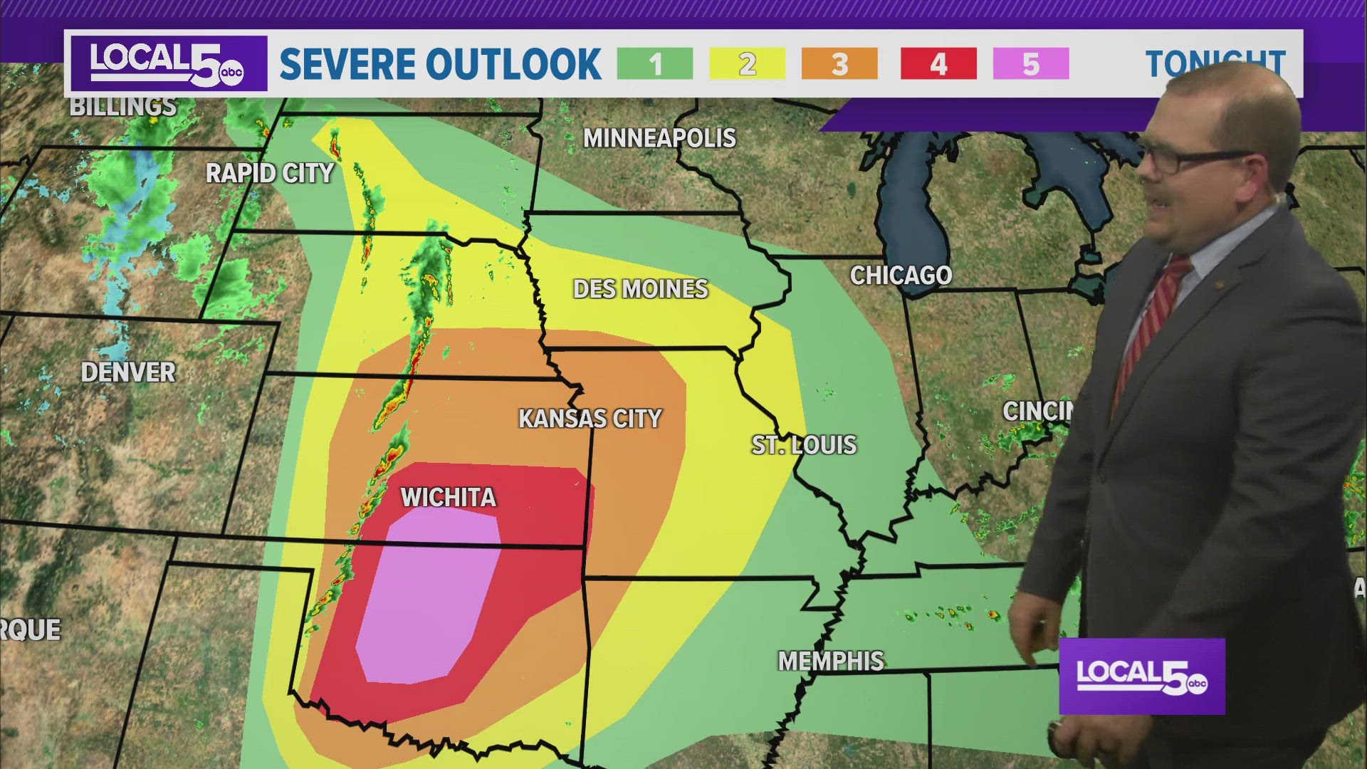
WEST DES MOINES, Iowa — A line of rain and storms is incoming for tonight. We're watching the severe weather prospects with this line closely. It's arrival is after dark. The strongest part of the line reaches our western counties between 9-10 PM, I-35 between 11 PM-12 AM, and exits east around 1-2AM, leaving behind some light showers through daybreak. The largest threat with this line of storms will be wind, but an embedded tornado within the line cannot be ruled out, mainly after SW Iowa. Heavy rain is embedded. Around 1/2" to 1" of rain is looking possible. With this line being fairly progressive we should avoid significant concerns of flash flooding.
Outside of a lingering shower at sunrise, we're clearing out and drying up for a bit. A breezy but otherwise nice day is ahead for Tuesday. Temps rebound back into the 70s.
It's 70s again on Wednesday. A few clouds build in during the afternoon and eventually some scattered areas of showers and storms will be possible. The intensity with these clusters of activity will be weaker.
Additional small opportunities for rain extends into Thursday and Friday but shouldn't ruffle any feathers. Temperatures will drop back to the upper 60s and low 70s for a stretch. Mother's Day weekend generally looks good at this stage of the forecast!